King Island
World-class golf, legendary cheese and a wild Bass Strait coastline where shipwrecks and superlatives collide.
schedule 3 min read / Updated Jun 2026
Anchored in the middle of Bass Strait roughly 85 kilometres north-west of mainland Tasmania, King Island is a windswept, 1,098-square-kilometre island that punches well above its weight in food, golf and natural drama. Its 600 or so permanent residents share the island with grass-fed cattle, colonies of little penguins, and some of the most photographed lighthouses in the southern hemisphere. Getting here requires a short flight - and rewards the effort tenfold.
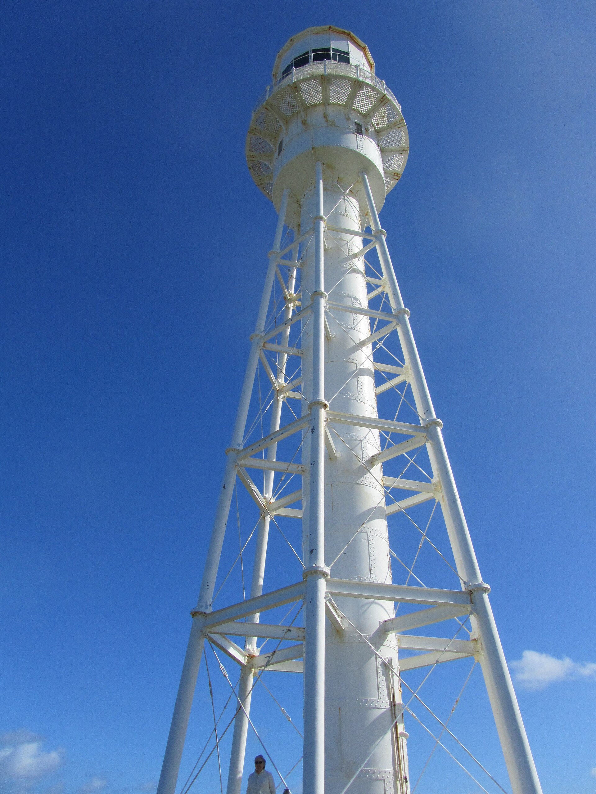
King Island earned its name from Colonial Governor Philip Gidley King after European discovery in 1799, though the island's story reaches far deeper. A human skeleton found in a cave in 1989 was dated to approximately 14,000 years ago, placing the ancestors of Aboriginal Tasmanians on the island during a period when Bass Strait was still dry land connecting Tasmania to the mainland. By the time the first Europeans arrived, the island was uninhabited, but its position at the western entrance of Bass Strait quickly made it one of the most treacherous stretches of water in the world - over 60 documented shipwrecks have claimed more than 2,000 lives in these waters, none more catastrophic than the loss of the passenger ship Cataraqui in 1845 with 399 lives.\n\nThe 48-metre Cape Wickham Lighthouse, completed in 1861, was built precisely to combat this deadly record. Constructed from local granite at the island's northernmost tip, it remains Australia's tallest lighthouse and arguably its most dramatically situated, rising above a raw coastline that has barely changed since the light was first lit on 1 November 1861. The Cape Wickham Golf Links now wraps around the lighthouse reserve, and the pairing has become something of a global pilgrimage - the course was ranked Australia's number one public course by Australian Golf Digest, with all 18 holes offering unobstructed ocean views. Its sister course, Ocean Dunes, sits further south near Currie and ranks among the nation's top five, making King Island unique as a two-course island golf destination of international standing.\n\nFor all its sporting celebrity, King Island remains most widely known for what grows and grazes here. The island's cool maritime climate, clean rainfall and rich pastures produce some of Australia's most sought-after dairy and beef. King Island Dairy's washed-rind and triple-cream cheeses appear on restaurant menus across the country, and the island's crayfish, abalone and locally reared beef are staples at the handful of excellent restaurants in Currie, the main township on the west coast. Rainwater bottled here is exported as a premium product - a measure of just how pristine the island's environment is regarded to be.\n\nBeyond the fairways and the table, King Island offers a coastal landscape of genuine wildness. Martha Lavinia Beach on the north-east coast has been rated among the best beach breaks in Australia by surf media. At Naracoopa on the east coast, a timber jetty stretches into calm, turquoise water that feels at odds with the island's stormy reputation. The Calcified Forest near Grassy - one of Tasmania's 60 Great Short Walks - is a 1.3-kilometre return stroll through hundreds of bizarrely shaped limestone structures formed when calcium carbonate mineralised the roots of a coastal forest some 7,000 years ago and the surrounding sand subsequently blew away. Little penguins nest near Grassy, platypus can be spotted at Upper Grassy Dam, and critically endangered orange-bellied parrots have been recorded passing through on their annual migrations.\n\nKing Island is best visited between October and April, when the weather is milder and daylight hours are long enough to squeeze in a round of golf, a beach walk and a cheese-board before sunset. The island has no traffic lights, no public transport, and no pretension - hire a car or 4WD from the airport and the whole island opens up within minutes. The Festival of King Island each February is a lively celebration of local produce, music and community spirit that draws visitors from across Australia and gives the island's small population of around 1,660 a chance to show off what makes this remote corner of Bass Strait so quietly extraordinary.
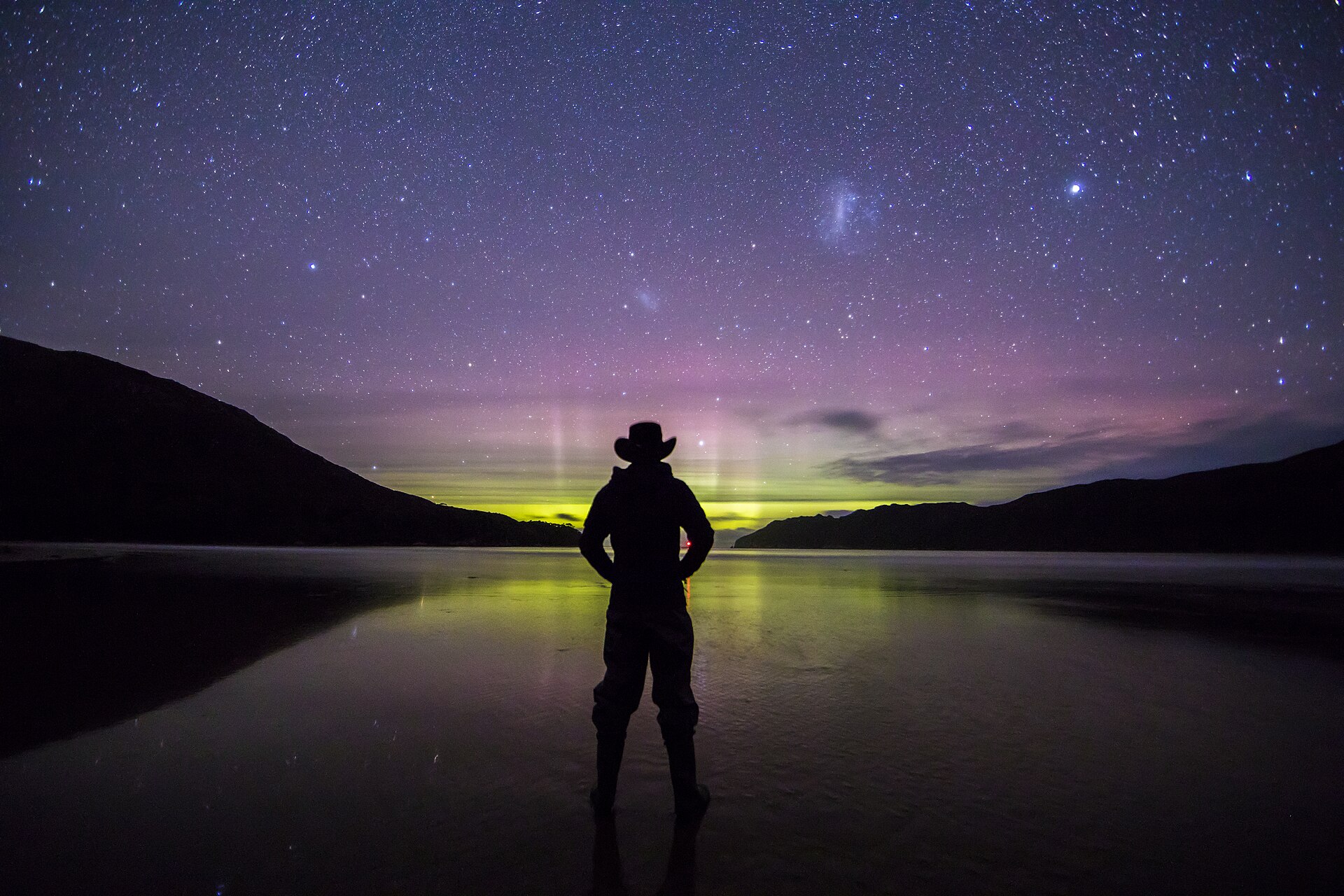
Scenic views
Lookouts near King Island.
You may also like


Attribution
Sources & credits
Content (1)
Images (3)
- Currie Harbour Lighthouse, King Island, Tasmania.jpg · Pavlostomas · CC BY-SA 4.0
- King Island, Tasmania, Australia.jpeg · Chris Hadfield @ NASA · Public domain
- King Island Lake Flanagan.jpg · SurveyorMJF · CC BY-SA 4.0
Images sourced from Wikimedia Commons under licenses that permit commercial use. If you are the rights holder and believe an attribution is incorrect, please contact us.