Fleurieu Peninsula
Wine, Whales and Wild Beaches South of Adelaide
On the lands of the Ramindjeri people.
schedule 1 min read / Updated Apr 2026
A diamond-shaped peninsula of vineyards, beaches and rolling dairy country that juts into the Southern Ocean just south of Adelaide. The Fleurieu wraps together McLaren Vale wine country, the surf beaches of Middleton and Goolwa, and the whale watching coast around Victor Harbor.
The Fleurieu Peninsula is named after Charles Pierre Claret de Fleurieu, the French explorer who charted the coast in 1802, and sits on Ramindjeri country. It makes up the southern edge of the mainland from the Mount Lofty Ranges down to where the Murray River reaches the sea.
McLaren Vale, 45 minutes from Adelaide, is the most famous wine region on the peninsula and was one of the first in Australia to pioneer organic and biodynamic viticulture. The d'Arenberg Cube, a multi-storey cube-shaped tasting room that resembles a Rubik's Cube, is the most photographed winery building in the country.
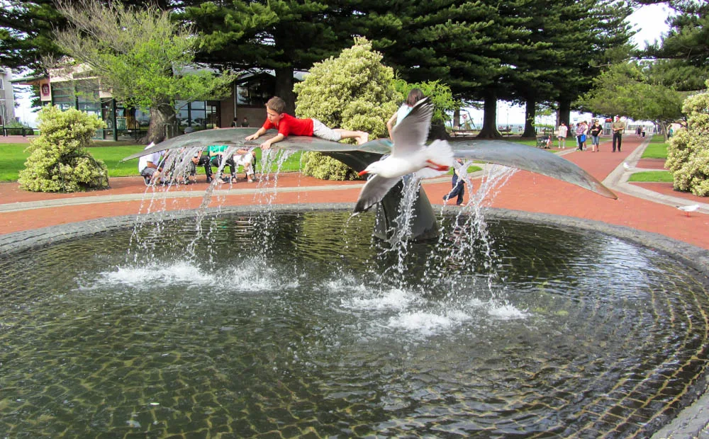
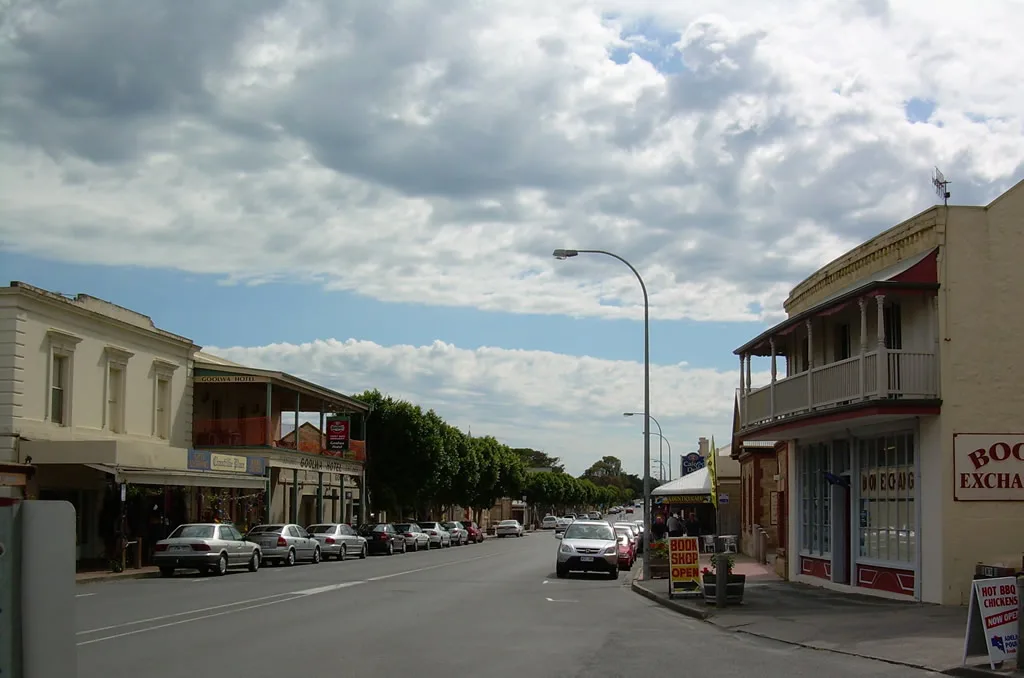
The south coast is rugged and exposed. Goolwa, at the mouth of the Murray, is where the river finally meets the sea after 2,508 kilometres. The Victor Harbor coast is one of the most reliable places in Australia to see southern right whales from May to October, often from the horse-drawn tramway causeway out to Granite Island. Deep Creek National Park on the south-western tip has some of the best bushwalking in South Australia.
Where to stay
Holiday parks near Fleurieu Peninsula.
3 options via our booking partner

Victor Harbor Holiday Park
17.1km away

NRMA Victor Harbor Beachfront Holiday Park
17.3km away
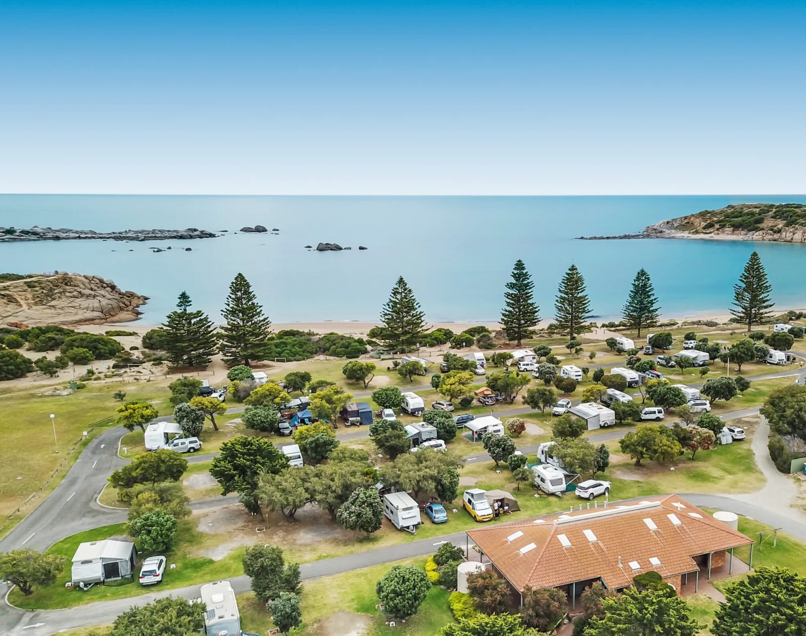
BIG4 Port Elliot Holiday Park
18.8km away
Bookings handled by our partner Parkbooker. We may earn a commission at no extra cost to you.
You may also like
Attribution
Sources & credits
Content (1)
Images (2)
- Having Fun - Flickr - Jocey K.jpg · Jocelyn Kinghorn from Christchurch, New Zealand · CC BY-SA 2.0
- Orange Blast - Flickr - Jocey K.jpg · Jocelyn Kinghorn from Christchurch, New Zealand · CC BY-SA 2.0
Images sourced from Wikimedia Commons under licenses that permit commercial use. If you are the rights holder and believe an attribution is incorrect, please contact us.