
Grampians National Park
Ranges and Rock Art
schedule 3 min read / Updated Apr 2026
Gariwerd, the Grampians, is a range of sandstone ridges rising abruptly out of the Wimmera plains in western Victoria. The park covers 1,670 square kilometres of mountain country with hundreds of waterfalls, over 900 recorded species of plants, and one of the highest concentrations of Aboriginal rock art in southern Australia.
The Grampians, known as Gariwerd to the Jardwadjali and Djab Wurrung peoples, rise out of the flat western Victorian plains about three hours' drive from Melbourne or two hours from Ballarat. The park was gazetted in 1984 and covers 1,670 square kilometres of sandstone ridges, escarpments, valleys and woodland. The mountains are around 400 million years old, formed as sand deposited at the bottom of an inland sea that was later folded, faulted and uplifted into the dramatic jagged ridges visible today.
The traditional owners of Gariwerd are the Jardwadjali and Djab Wurrung peoples, who have lived in this country for at least 20,000 years. The area contains around 90 percent of all the known Aboriginal rock art sites in Victoria, with paintings in shelters across the park depicting hands, animals, human figures, and geometric designs. Five rock art sites are open to the public: Manja Shelter, Billimina Shelter, Ngamadjidj Shelter, Bunjil's Shelter and Gulgurn Manja Shelter. The Brambuk Cultural Centre at Halls Gap is run by the local Aboriginal community and is the best place to start any visit to the park.
The town of Halls Gap sits at the heart of the park in a valley between the Wonderland and Mount William ranges and is the main base for most visitors. From Halls Gap, short drives and walks reach the standout viewpoints. The Pinnacle Lookout, reached via a moderate 2 kilometre walk through the Grand Canyon of the Wonderland Range, is the single most famous view in the Grampians and looks over Halls Gap and the eastern valley. The Balconies lookout, just up the road, is a natural rock overhang that has appeared on the cover of more Victorian tourism brochures than any other location.
MacKenzie Falls is the biggest waterfall in western Victoria and one of the biggest on mainland Australia. The falls drop in two stages into a large plunge pool, and visitors can view them from three platforms or hike down to the base via a steep staircase. The falls run year-round, unusual for Australian waterfalls, and are spectacular after winter rain. Silverband Falls, Beehive Falls and Splitters Falls are smaller but equally worth visiting.
For walkers, the Grampians Peaks Trail is a 160 kilometre multi-day hiking track that opened in 2021 and runs the full length of the park. The trail is considered among the best multi-day walks in Australia and is designed to be done in segments or as a full 13-day end-to-end journey. Dedicated hiker camps with basic facilities are spaced along the route, and most hikers book months in advance.
The park is home to more than 900 recorded species of plants, including at least 40 that are found nowhere else on earth. Spring (September to November) is the best wildflower season and one of the most dramatic times to visit the park, with orchids, wattles and heath species in full bloom. The park is also home to significant populations of kangaroos, emus, echidnas and koalas, plus a substantial population of the vulnerable brush-tailed rock-wallaby.
Grampians wine country, centred on the towns of Great Western and Stawell just north of the park, is one of the oldest wine regions in Australia. The first vines were planted here in 1863 and the region is best known for producing the classic Victorian shiraz style and traditional-method sparkling wine. Major producers include Seppelt, Best's and Mount Langi Ghiran. Most visitors combine a weekend in the park with a winery day in Great Western.
The park is open year-round. Spring (September to November) is the standout season for wildflowers, waterfalls and walking. Autumn (March to May) is equally pleasant for walking but without the flowers. Summer is hot and dry with significant bushfire risk, and winter can bring cold and wet conditions that limit some of the higher walks. The 2024 Grampians bushfires affected parts of the southern section of the park and some tracks are still being restored, so check park updates before visiting specific walks.
Where to stay
Holiday parks near Grampians National Park.
3 options via our booking partner

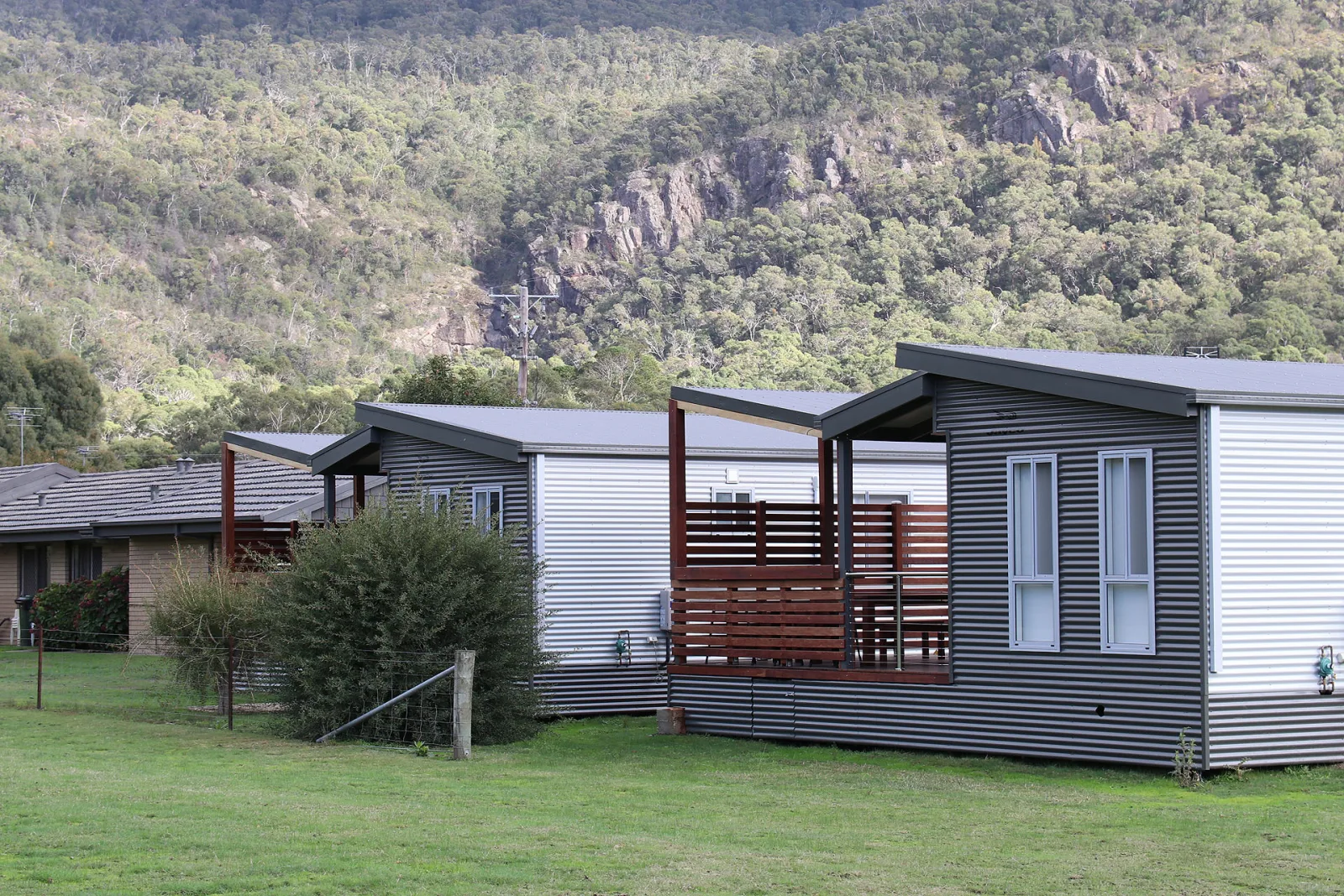
Breeze Holiday Parks Halls Gap
11.1km away
NRMA Halls Gap Holiday Park
11.8km away

Breeze Holiday Parks Grampians
12.9km away
Bookings handled by our partner Parkbooker. We may earn a commission at no extra cost to you.
Gallery
Grampians National Park in pictures.
11 images licensed from Wikimedia Commons
All images are sourced from Wikimedia Commons under Creative Commons licences. Individual photographers are credited on the source pages.
Featured in
Shortlists that include Grampians National Park.


Scenic views
Lookouts near Grampians National Park.
You may also like






Attribution
Sources & credits
Content (1)
Images (11)
- Grampians NP Boronia Peak and Halls Gap seen from Chatauqua... · Ymblanter · CC BY-SA 4.0
- Grampians NP Boronia Peak and Halls Gap seen from Chatauqua... · Ymblanter · CC BY-SA 4.0
- Grampians NP Boronia Peak and Halls Gap seen from Chatauqua... · Ymblanter · CC BY-SA 4.0
- Beehive Falls, Grampians National Park, Victoria Australia (... · Rexness from Melbourne, Australia · CC BY-SA 2.0
- Grampians Flora.jpg · IDK Ramen · CC BY-SA 4.0
- Grampians NP Chatauqua Peak Walk 08.jpg · Ymblanter · CC BY-SA 4.0
- Grampians NP Chatauqua Peak Walk Kangaroo.jpg · Ymblanter · CC BY-SA 4.0
- Grampians National Park, Victoria, Australia - Entry Sign.jp... · Andrew Katsis · Public domain
- Grampians Panorama from Pinnacle Edit 1 - Nov 2008.jpg · Diliff · CC BY-SA 3.0
- Hollow Rock - Trooper's Creek, Grampians National Park, Vict... · Rexness from Melbourne, Australia · CC BY-SA 2.0
- Mount William (Duwil) view to the North, Grampians National... · BennyG3255 · CC BY-SA 4.0


.jpg)


.jpg)
_view_to_the_North,_Grampians_National_Park.jpg)
Images sourced from Wikimedia Commons under licenses that permit commercial use. If you are the rights holder and believe an attribution is incorrect, please contact us.