
Jervis Bay
The Whitest Sand in New South Wales
On the lands of the Wandi Wandian and Jerrinja people.
schedule 3 min read / Updated Jun 2026
A large natural harbour on the south coast of New South Wales, famous for some of the whitest beach sand on earth. Hyams Beach held the Guinness World Record for whitest sand until it was overtaken by Lucky Bay in Western Australia. The surrounding Booderee National Park is jointly managed with the Wreck Bay Aboriginal Community.
Jervis Bay is a deep natural harbour on the south coast of New South Wales, about three hours' drive south of Sydney, on the traditional lands of the Wandi Wandian and Jerrinja people. The bay is roughly 16 kilometres long and 10 kilometres wide, and is technically a federal territory under the Australian Capital Territory jurisdiction. The southern half of the bay and most of the surrounding coastline is protected inside Booderee National Park, which is jointly managed by the federal government and the Wreck Bay Aboriginal Community.
The bay is best known internationally for its white sand. Hyams Beach on the western shore held the Guinness Book of World Records title for whitest sand in the world from the 1980s until it was independently tested and overtaken by Lucky Bay in Western Australia's Cape Le Grand National Park in 2017. The Jervis Bay sand is almost pure quartz with minimal organic content, which gives it the brilliant white appearance and keeps the surface cool to walk on even in full sun.
Hyams Beach is the most famous beach in the bay and gets packed in summer, but the whiteness continues around the coast at Greenfield Beach, Chinamans Beach, and the more remote Cave Beach inside Booderee National Park. All of them are equally white, and the quieter beaches inside the national park are arguably nicer for a day's swimming than the crowds at Hyams.
Booderee National Park covers 6,400 hectares of the southern half of the bay and the adjoining coast. The park is home to wallabies, kangaroos, eastern grey kangaroos, bandicoots, echidnas, and a rich birdlife. Ghost crabs are a common sight on the beaches at dawn. The Booderee Botanic Gardens within the park are the only indigenous-owned botanic gardens in Australia and focus on native plants used by the Wreck Bay community for food, medicine and tools.
The bay is one of the best places in New South Wales to see dolphins and whales. A resident pod of bottlenose dolphins lives in the bay year-round, and dolphin-watching cruises leave from Huskisson and Woollamia multiple times a day. Humpback whales migrate past the bay between May and November, and southern right whales occasionally calve in the sheltered water at the south end of the bay.
Huskisson, the main town on the bay, is a small coastal village with cafes, galleries, and a craft-beer brewery. Vincentia, around the corner on the southern shore, is a quieter alternative. Both have a range of accommodation from caravan parks and motels up to mid-tier holiday apartments.
Beyond the beaches, Jervis Bay is the gateway to the Kangaroo Valley wine and cheese country (1 hour west), the Shoalhaven River and Nowra (20 minutes north), and the Morton National Park with the Fitzroy Falls visitor centre. It is the halfway point on the coastal drive between Sydney and Melbourne.
Jervis Bay is a year-round destination but best visited September to May. Summer is crowded and hot but also when the water is most inviting. Winter is cool but delivers the best whale watching from June to October. Sydney Airport (SYD) is the nearest major airport, 195 kilometres north.
Tourist locations
Places to visit in Jervis Bay.
6 locations to explore
Booderee National Park
Sacred land, pristine shores
$20 per vehicle per day ($10 concession); free for walkers and cyclists
Full guide arrow_forwardCave Beach
Surf, caves and solitude
$20 per vehicle (Booderee National Park day pass)
Full guide arrow_forwardJervis Bay Maritime Museum
Historic ferry, living history
Adults $14, concession $12.50, children under 16 free
Full guide arrow_forwardJervis Bay Wild Dolphin and Whale Cruises
Dolphins, whales, open water
Adults from $69, children (2-14) from $32; infants under 2 free
Full guide arrow_forwardMurrays Beach
Sheltered bay, wild snorkelling
$20 per vehicle (Booderee National Park day pass)
Full guide arrow_forwardPoint Perpendicular Lighthouse
Clifftop views, whale season magic
Free
Full guide arrow_forwardGallery
Jervis Bay in pictures.
10 images licensed from Wikimedia Commons
All images are sourced from Wikimedia Commons under Creative Commons licences. Individual photographers are credited on the source pages.
Featured in
Shortlists that include Jervis Bay.


Scenic views
Lookouts near Jervis Bay.
You may also like

Hyams Beach

Kangaroo Valley

Kiama

Surry Hills
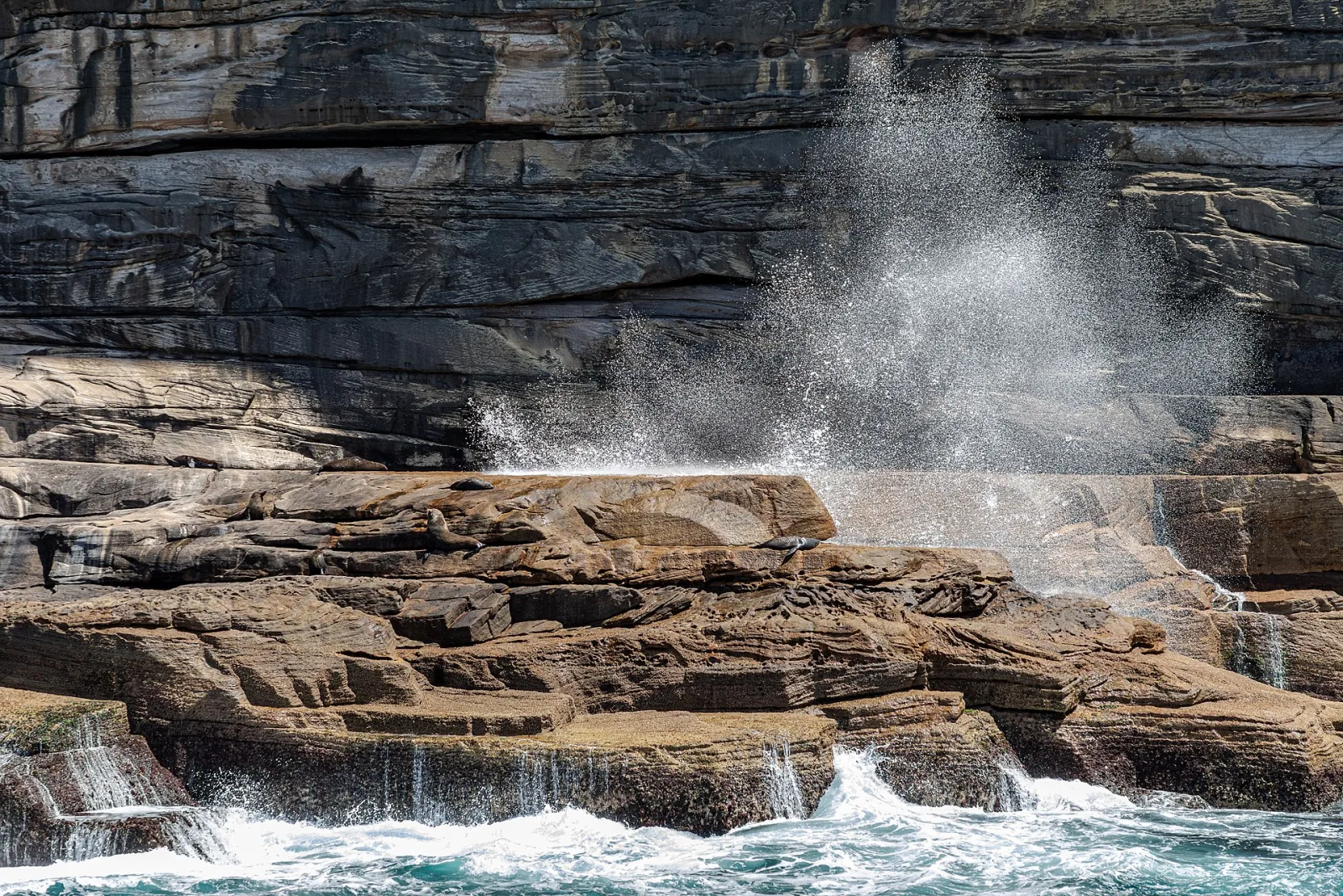
Sydney

Thredbo

King Street Wharf
Central Coast
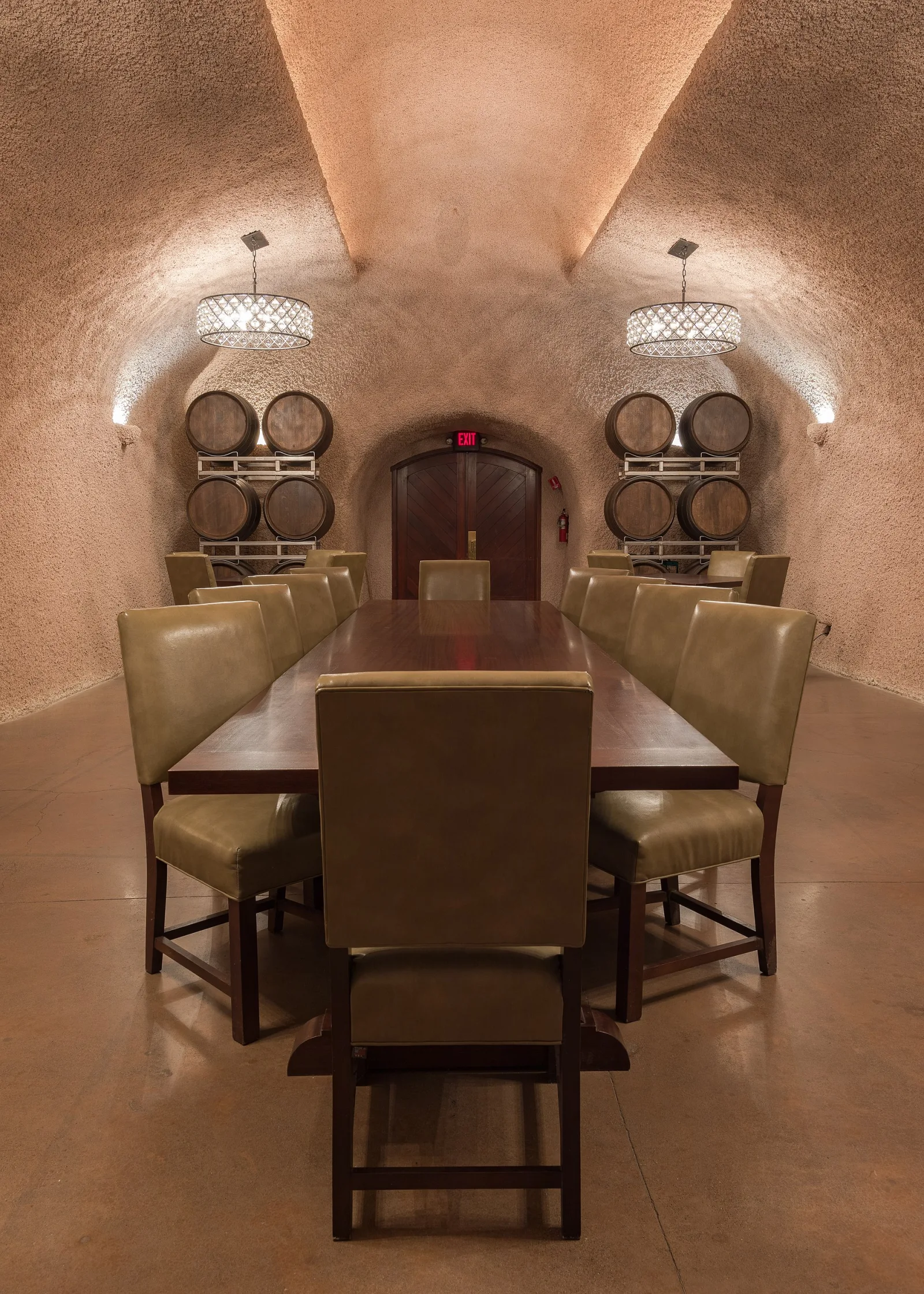
Rutherford

Bankstown

Warrumbungle National Park
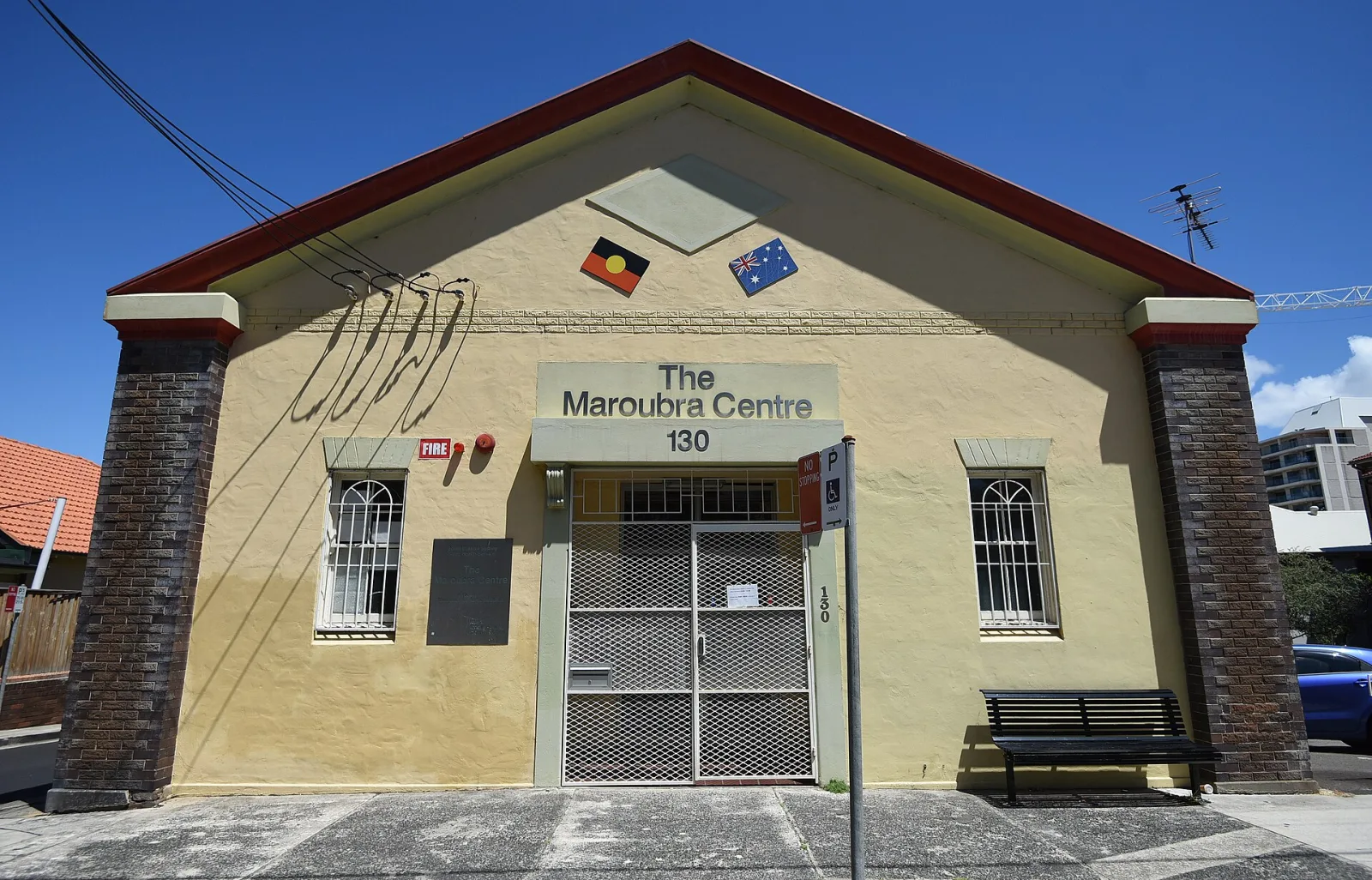
Maroubra
Attribution
Sources & credits
Content (1)
Images (10)
- JBT border.jpg · Rufusferret · CC BY-SA 3.0
- Lake Wollumboola South Coast N.S.W.jpg · Elly Kopytko · CC BY-SA 4.0
- Admiralty Chart No 2142 Australia East Coast. Sheet II Barri... · United Kingdom Hydrographic Office · Public domain
- Admiralty Chart No 2143 Australia East Coast Sheet III Jervi... · United Kingdom Hydrographic Office · Public domain
- Admiralty Chart No 567 Australia, New South Wales, Jervis Ba... · United Kingdom Hydrographic Office · Public domain
- Callala Beach - Jervis Bay.jpg · Ronaa22 · CC BY-SA 4.0
- Eastern Osprey, Jervis Bay, NSW.jpg · Wildlifecartoons · CC BY-SA 4.0
- Hole in the Wall, Greenpatch, Jervis Bay, Australia (October... · DVernon at en.wikipedia / Later version(s) were up... · Public domain
- Hyams Beach at Jervis Bay National Park.jpg · Piccolpassa · CC BY-SA 4.0
- Jervis Bay National Park 10.jpg · JD8001 · CC BY-SA 4.0


.jpg)


Images sourced from Wikimedia Commons under licenses that permit commercial use. If you are the rights holder and believe an attribution is incorrect, please contact us.