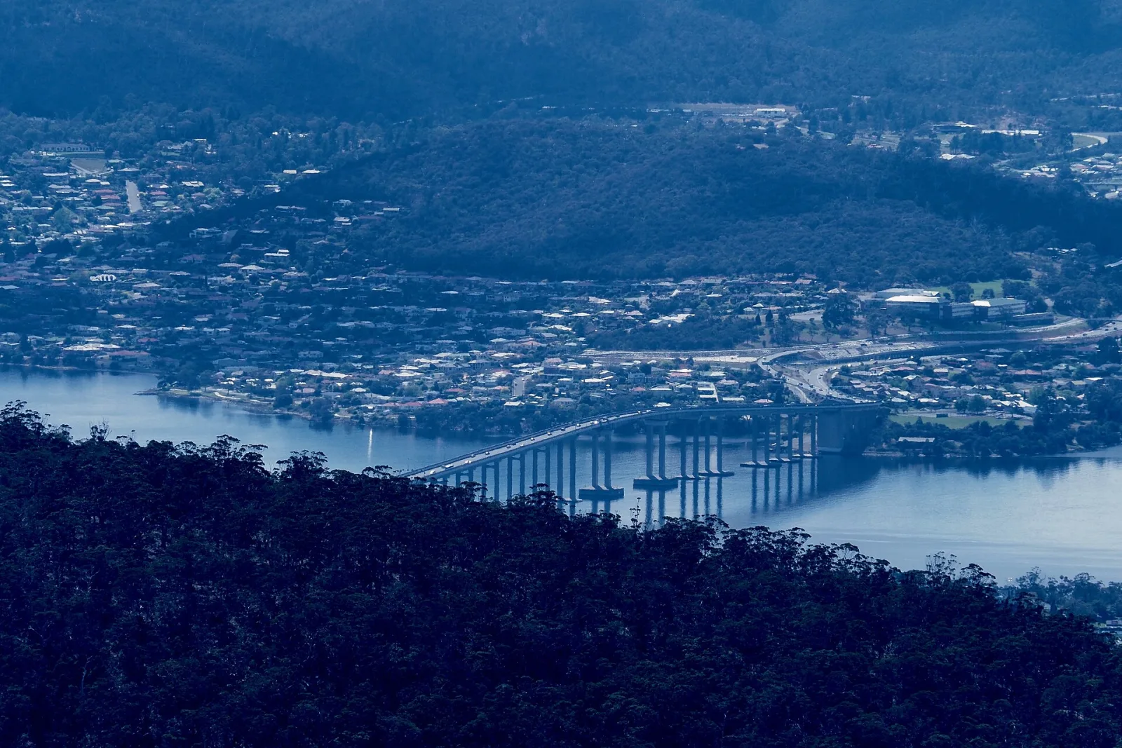
kunanyi / Mount Wellington
kunanyi
The Mountain That Watches Over Hobart
On the lands of the Muwinina people.
schedule 1 min read / Updated Apr 2026
A 1,271 metre dolerite peak that rises directly behind Hobart, giving the city one of the most dramatic backdrops of any capital in the world. The summit road is open year-round and the view covers everything from the Tasman Peninsula to the Derwent Valley.
kunanyi (the name restored in 2013) is a dolerite plateau capped by the Organ Pipes, a wall of vertical columnar cliffs that form when molten rock cools slowly under pressure. It rises directly behind Hobart to 1,271 metres and gets snow on the summit several times a year, even in summer.
The summit is reached by a sealed road that climbs from Fern Tree, the village on the lower slopes. At the top there is a glass observation shelter, a wheelchair accessible boardwalk, and views over the Tasman Peninsula, Bruny Island and the Derwent Valley on clear days. The mountain is infamously fickle and can switch from sunshine to sleet in 20 minutes.
For walkers, the mountain has a full network of tracks running up from Fern Tree, the Organ Pipes Track (the most dramatic), the Pinnacle Track, and the Zig Zag Track that climbs the steepest face. The Mt Wellington Descent is a popular downhill mountain bike tour that starts at the summit and rolls 21 kilometres back to the city.
Common questions
Things visitors ask about kunanyi / Mount Wellington.
Quick answers to help you plan.
Where is kunanyi / Mount Wellington?
expand_more
Kunanyi / Mount Wellington rises directly behind Hobart in southern Tasmania, reaching 1,271 metres above sea level. The summit, known as the Pinnacle, sits within Wellington Park, an 18,011-hectare reserve managed by the Wellington Park Management Trust.
Why does the mountain have two names?
expand_more
Kunanyi is the palawa kani name long used by the Muwinina people, the traditional owners of nipaluna / Hobart and the surrounding Country. The dual name kunanyi / Mount Wellington was officially adopted in 2013, recognising both the mountain's Aboriginal heritage and its colonial-era English name.
How do I get to the summit from Hobart?
expand_more
The drive from central Hobart takes around 30 minutes via Huon Road to Fern Tree, then up Pillinger Drive and Pinnacle Road. The sealed road is suitable for ordinary vehicles, with The Springs sitting 3.5km above Fern Tree and the Pinnacle a further 9km up.
Is it free to drive up kunanyi / Mount Wellington?
expand_more
Yes. Wellington Park has no entry fees and Pinnacle Road is open year-round, free of charge, except when snow, ice, high winds or fire danger force a closure. Parking at The Springs and the Pinnacle is also free.
What if I do not have a car?
expand_more
The kunanyi / Mt Wellington Explorer Bus runs daily from opposite the Hobart Travel and Information Centre, with a 2.5-hour return trip including 30 minutes at the summit. It is also the only licensed operator allowed up the mountain when Pinnacle Road is closed by snow. Metro buses serve Fern Tree at the base, and many visitors hike up from there.
What is at the Pinnacle?
expand_more
The summit has open-air lookouts and the Pinnacle Observation Shelter, a glass-fronted building giving 360-degree views over Hobart, the Derwent estuary, the south coast and the Tasmanian Wilderness World Heritage Area to the west. The shelter is wheelchair accessible from the carpark via boardwalk and is open at all hours, with toilets available nearby.
Can I see snow on kunanyi?
expand_more
Yes, snow can fall on the summit in any month of the year, although it is most common from June to September. When snow settles, Pinnacle Road is closed to private vehicles while the City of Hobart clears it, and the Explorer Bus operates a snow tour with exclusive access.
How much colder is the summit than Hobart?
expand_more
The Pinnacle is typically about 10C cooler than Hobart city, and the summit alone is around 6C colder than The Springs 600 metres below. Wind chill makes it feel colder again, so warm layers, a windproof jacket and sturdy shoes are essential year-round.
What are the best walks on the mountain?
expand_more
The 9.2km Organ Pipes Circuit from The Springs traces the base of the famous dolerite columns and is listed among Tasmania's 60 Great Short Walks. The wide, family-friendly Pipeline Track from Fern Tree leads to Silver Falls, while longer routes like the Pinnacle Track climb all the way to the summit.
Can I mountain bike on kunanyi?
expand_more
Yes. The purpose-built North-South Track links The Springs with the Glenorchy Mountain Bike Park, descending through forest with sweeping berms, log rides and a clapper bridge. It is rated Blue (intermediate) for riders and Moderate for walkers, and the Explorer Bus carries bikes for $10 so you can shuttle the descent.
When is the best time of day to visit?
expand_more
Sunrise and sunset deliver the most dramatic light over Hobart and the Derwent, while clear midday conditions give the sharpest long-distance views to the south-west wilderness. Check the City of Hobart road status and summit webcams before heading up, as cloud can blanket the Pinnacle when the city below is sunny.
Whose Country am I visiting?
expand_more
Kunanyi sits on the Country of the Muwinina people, part of the wider palawa nation of lutruwita / Tasmania. Visitors are encouraged to walk gently, take rubbish home and acknowledge the deep cultural significance the mountain holds for Tasmanian Aboriginal people.
Scenic views
Lookouts near kunanyi / Mount Wellington.
You may also like
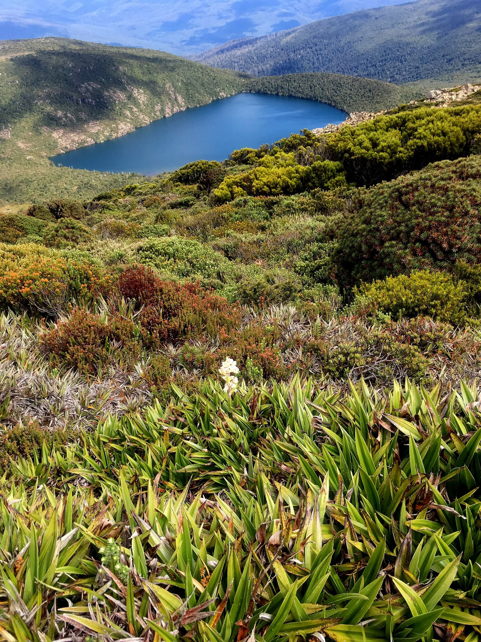
Hartz Mountains National Park

Hobart
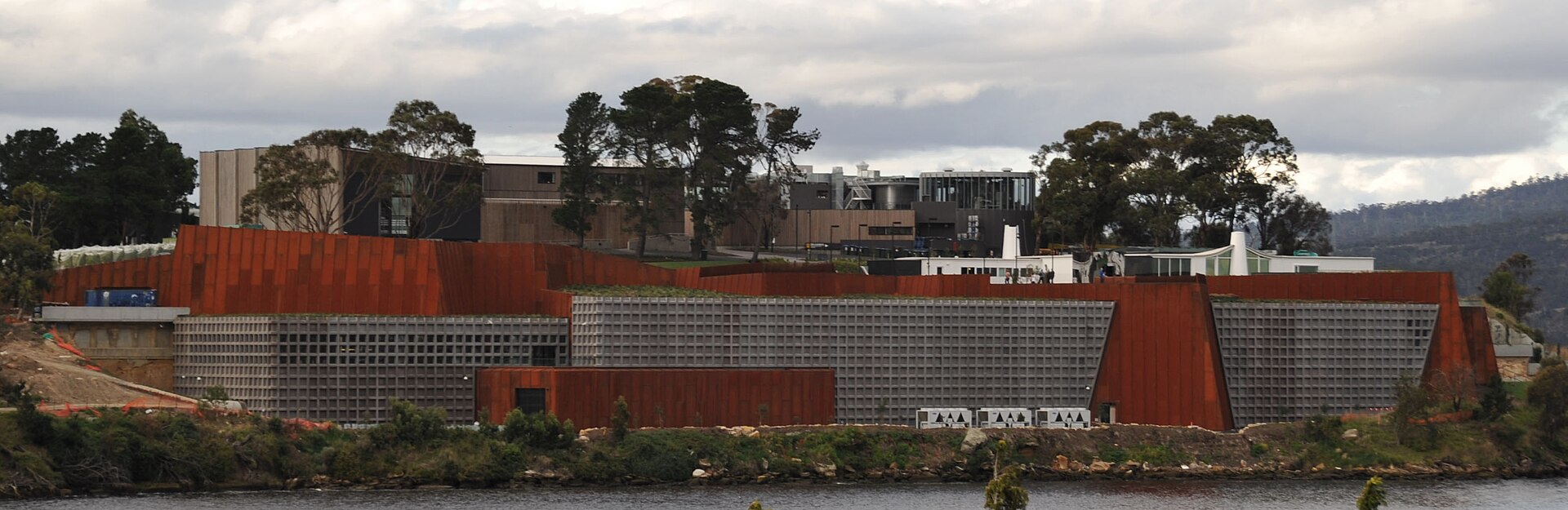
Museum of Old and New Art (MONA)
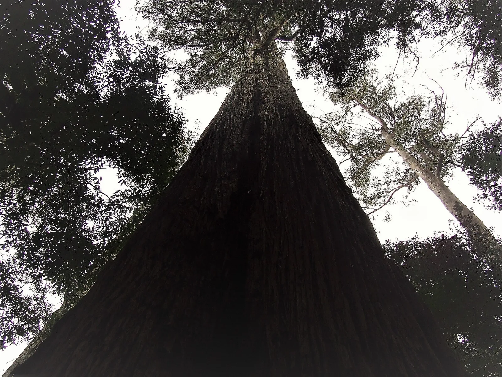
Huon Valley

Richmond
Richmond

Mount Field National Park

Russell Falls
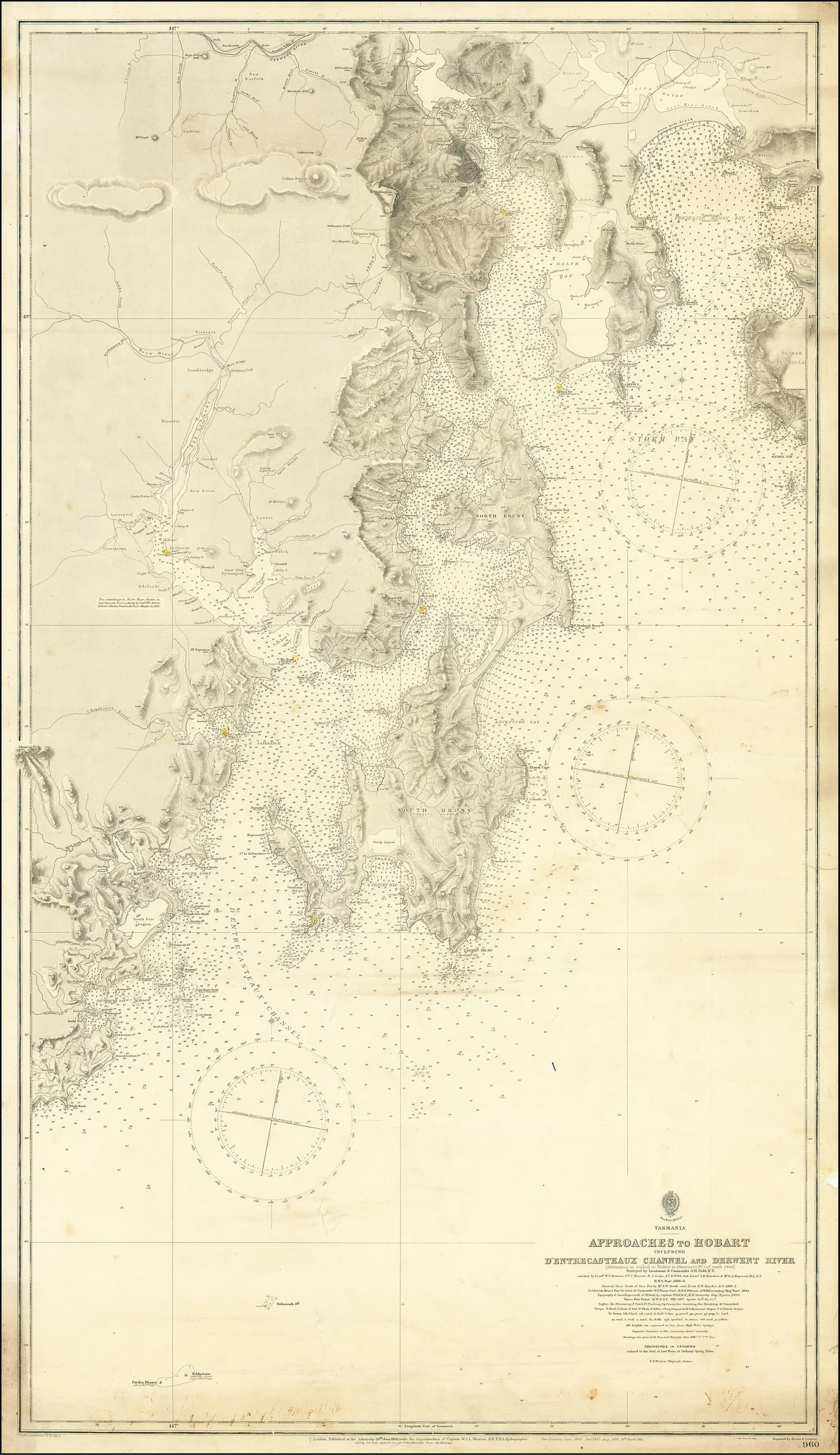
Bruny Island

Tasman Peninsula
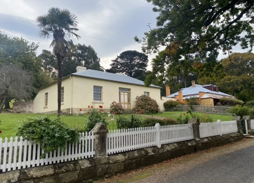
Port Arthur Historic Site

Tasman National Park
Attribution
Sources & credits
Content (5)
- Wikipedia: kunanyi / Mount Wellington · CC BY-SA 4.0
- Wellington Park - kunanyi / Mt Wellington · Wellington Park Management Trust
- Pinnacle Road status · City of Hobart
- kunanyi / Mt Wellington Explorer Bus · kunanyi / Mt Wellington Explorer Bus
- Organ Pipes - 60 Great Short Walks · Parks and Wildlife Service Tasmania
Images (2)
- Kunanyi Mt Wellington - 37901873276 bridge 2017.jpg · Paris Buttfield-Addison · CC BY 2.0
- Kunanyi Mt Wellington - 37924343522 2017.jpg · Paris Buttfield-Addison · CC BY 2.0


Images sourced from Wikimedia Commons under licenses that permit commercial use. If you are the rights holder and believe an attribution is incorrect, please contact us.