Nullarbor Plain
Oondiri
Treeless, vast and ancient
On the lands of the Mirning people people.
schedule 3 min read / Updated Jun 2026
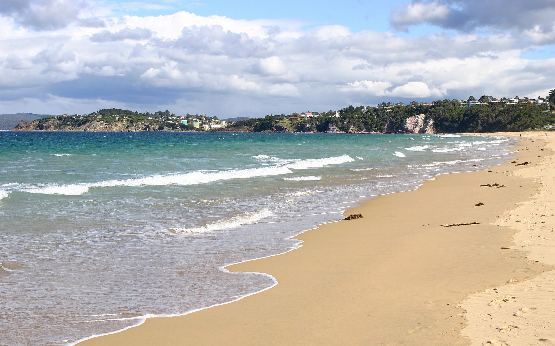
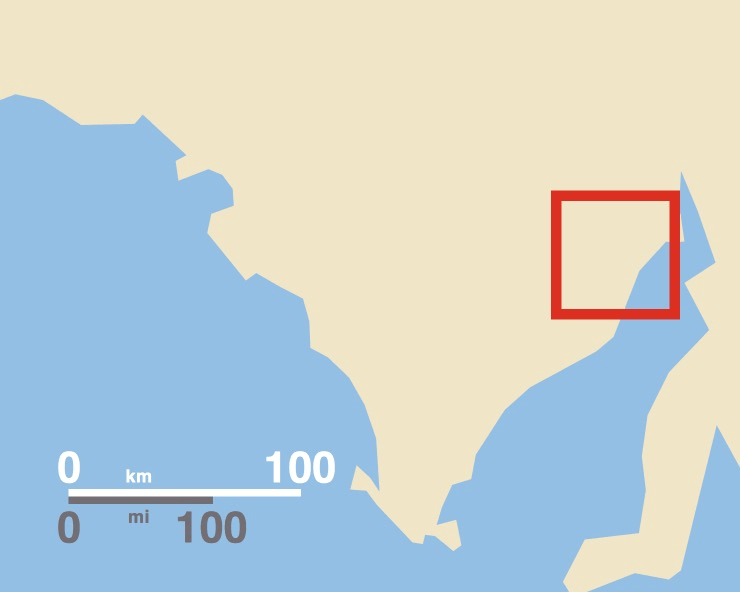
The Nullarbor Plain is one of Earth's great horizontal wildernesses, a flat limestone plateau stretching more than 1,100 kilometres across South Australia and Western Australia, abutting the Southern Ocean at the sheer Bunda Cliffs. Crossing it on the Eyre Highway is a rite of passage for Australian road trippers, and the Head of Bight offers one of the world's best land-based viewpoints for southern right whale watching during the winter season.
The Nullarbor takes its name from the Latin for no tree, and the description is almost literal: the plain is a vast, almost featureless expanse of low bluebush and saltbush scrub underlain by the world's largest single exposure of limestone bedrock, covering around 200,000 square kilometres. The limestone formed from the shells of marine creatures when the plain was a shallow sea, and the dry conditions of the past 2.5 million years have preserved it in extraordinary detail. Beneath the surface lies one of the world's most extensive semi-arid karst systems, a labyrinth of caves, sinkholes, and underground passages.
The southern edge of the Nullarbor terminates at the Bunda Cliffs, a coastal escarpment stretching approximately 210 kilometres along the Great Australian Bight. The cliffs stand between 60 and 120 metres high and plunge directly into the Southern Ocean, with no beach to soften the impact. Several signposted lookouts along the Eyre Highway provide safe clifftop viewing, as the ground near the edges is undercut limestone that can collapse without warning, and visitors must keep well back from unfenced sections. The spectacle is especially dramatic at dusk, when the orange cliffs glow against the deep blue of the Bight.
The Head of Bight, near the highway settlement of Nullarbor on South Australia's far west coast, is the premier wildlife destination on the plain. Every year from June to October, southern right whales gather in the sheltered waters below the cliffs to give birth and nurse their calves, with peak numbers of more than 100 whales recorded during August. A visitor centre operated by the Mirning Aboriginal community offers elevated boardwalk platforms above the cliffs. The Mirning people hold native title over the Nullarbor parks and co-manage the area through a committee established under the Far West Coast Native Title Determination of 2013.
The Eyre Highway crossing is one of the defining Australian road journeys. The highway includes the longest straight stretch of sealed road in Australia at 146 kilometres, running west from near Balladonia in WA. Parallel to it, the Trans-Australian Railway contains the longest straight section of any railway line in the world, 478 kilometres of dead-straight track without a single curve, a feat of early 20th-century surveying. Indian Pacific passenger trains traverse this line between Adelaide and Perth, offering an alternative to driving. The highway itself passes a string of isolated roadhouses that function as community hubs, fuel stops, and camping spots across the crossing.
The Nullarbor is also a serious scientific landscape. The arid surface has preserved thousands of meteorite fragments washed out of the limestone, making the plain one of the world's most productive meteorite recovery sites. The cave system shelters unique fauna found nowhere else, including cave-dwelling crustaceans and invertebrates adapted to the subterranean darkness. Above ground, southern hairy-nosed wombats, red kangaroos, dingoes, and a variety of arid-zone birds share the scrubby plain, most active at dawn and dusk when temperatures are manageable.
Common questions
Things visitors ask about Nullarbor Plain.
Quick answers to help you plan.
When is the best time to see whales at the Head of Bight?
expand_more
Southern right whales are present from 1 June to 30 October each year, with peak numbers in late July and August when mothers and newborn calves are most numerous. Aerial surveys have recorded more than 100 individual whales in the area during August. The Head of Bight Visitor Centre is open daily during whale season.
How much does it cost to enter the Head of Bight?
expand_more
During whale season (1 June to 30 October), admission is $20 for adults, $9 for children aged 5 to 15, and $50 for a family of two adults and two children. Off-season rates are lower. The visitor centre is operated by the local Mirning Aboriginal community, and your entry fee supports the community and the protection of the site.
How long does it take to drive across the Nullarbor?
expand_more
The full Nullarbor crossing from Norseman in WA to Ceduna in SA covers roughly 1,200 kilometres and takes around 12 to 14 hours of driving. Most travellers spread the journey over two to four days to take in the Bunda Cliffs lookouts, the Head of Bight, and the roadhouse communities along the way. Fuel, food, and accommodation are available only at the roadhouses, so fill up at every opportunity.
Who are the traditional owners of the Nullarbor?
expand_more
The Mirning people are the recognised traditional owners of the Nullarbor parks, holding native title under the Far West Coast Native Title Determination made in 2013. The Mirning co-manage the national park and wilderness protection area through a joint advisory committee with National Parks and Wildlife Service South Australia.
Are there any caves open to the public on the Nullarbor?
expand_more
Murrawijinie Caves, within Nullarbor National Park, are the primary caves accessible to the general public. The limestone karst system beneath the plain is extensive, but most caverns are accessible only to experienced cavers with permits. Visitors should contact the National Parks and Wildlife Service South Australia before travelling for current access conditions.
Is it safe to approach the Bunda Cliffs edge?
expand_more
No. The Bunda Cliffs are formed from undercut limestone that can collapse without warning, and cliff edges are considered unsafe to approach closely. The signposted highway lookouts provide the safest viewing, and visitors should remain well back from any unfenced sections. Camping directly along the cliff line is prohibited for this reason.
Can I take the train across the Nullarbor instead of driving?
expand_more
Yes. The Indian Pacific passenger train runs between Adelaide and Perth via the Trans-Australian Railway, which includes the world's longest dead-straight section of railway at 478 kilometres. It passes through the heart of the Nullarbor, offering a different perspective on the crossing, though it does not stop at the Head of Bight or Bunda Cliffs lookouts.
Gallery
Nullarbor Plain in pictures.
6 images licensed from Wikimedia Commons
All images are sourced from Wikimedia Commons under Creative Commons licences. Individual photographers are credited on the source pages.
From the journal
Read more about Nullarbor Plain.
You may also like
Limestone Coast
Copper Coast (Kadina, Wallaroo, Moonta)

Annadale
Whyalla
Nuriootpa
Port Lincoln
Kingscote

Remarkable Rocks

Stonewell Road
Glenelg

Lower Light
Adelaide Hills
Attribution
Sources & credits
Content (4)
- Wikipedia: Nullarbor Plain · CC BY-SA 4.0
- Nullarbor National Park · National Parks and Wildlife Service South Australia · CC BY 4.0
- Head of Bight Whale Watching Centre · South Australian Tourism Commission
- Nullarbor Plain - Wikipedia · Wikipedia contributors · CC BY-SA 4.0
Images (6)
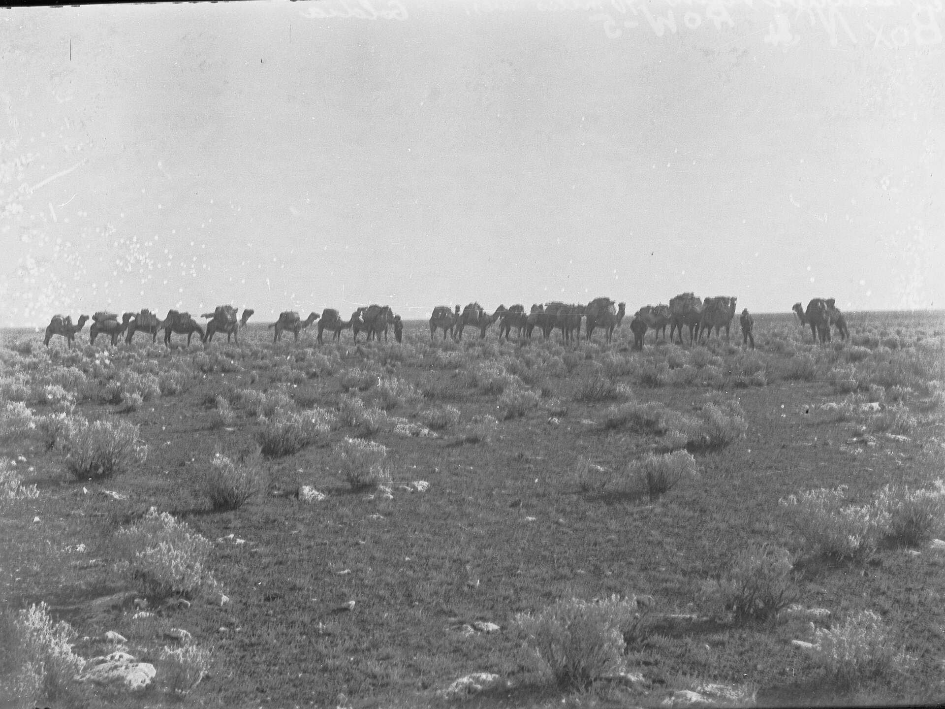
- Camel train crossing Nullarbor Plain(GN00374).jpg · State Government Photographer · CC0
- Coondamba, Nullarbor Plain(GN00505).jpg · State Government Photographer · CC0
- Elvedeh Rock hole Nullarbor Plain(GN00373).jpg · State Government Photographer · CC0
- Eyre Highway, South Australia (on Nullarbor Plain).jpg · Chuq · CC BY-SA 4.0
- Eyre Highway, South Australia (on Nullarbor Plain) - eastwar... · Chuq · CC BY-SA 4.0
- Line drawing of the Nullabor Plain South Australian desert.p... · D A R C 12345 · CC0
.jpg)
.jpg)
.jpg)
.jpg)
_-_eastward.jpg)
Images sourced from Wikimedia Commons under licenses that permit commercial use. If you are the rights holder and believe an attribution is incorrect, please contact us.