Victoria · Attraction
Wilsons Promontory Lightstation
Mainland Australia's southernmost settlement
schedule 1 min read / Updated Jun 2026
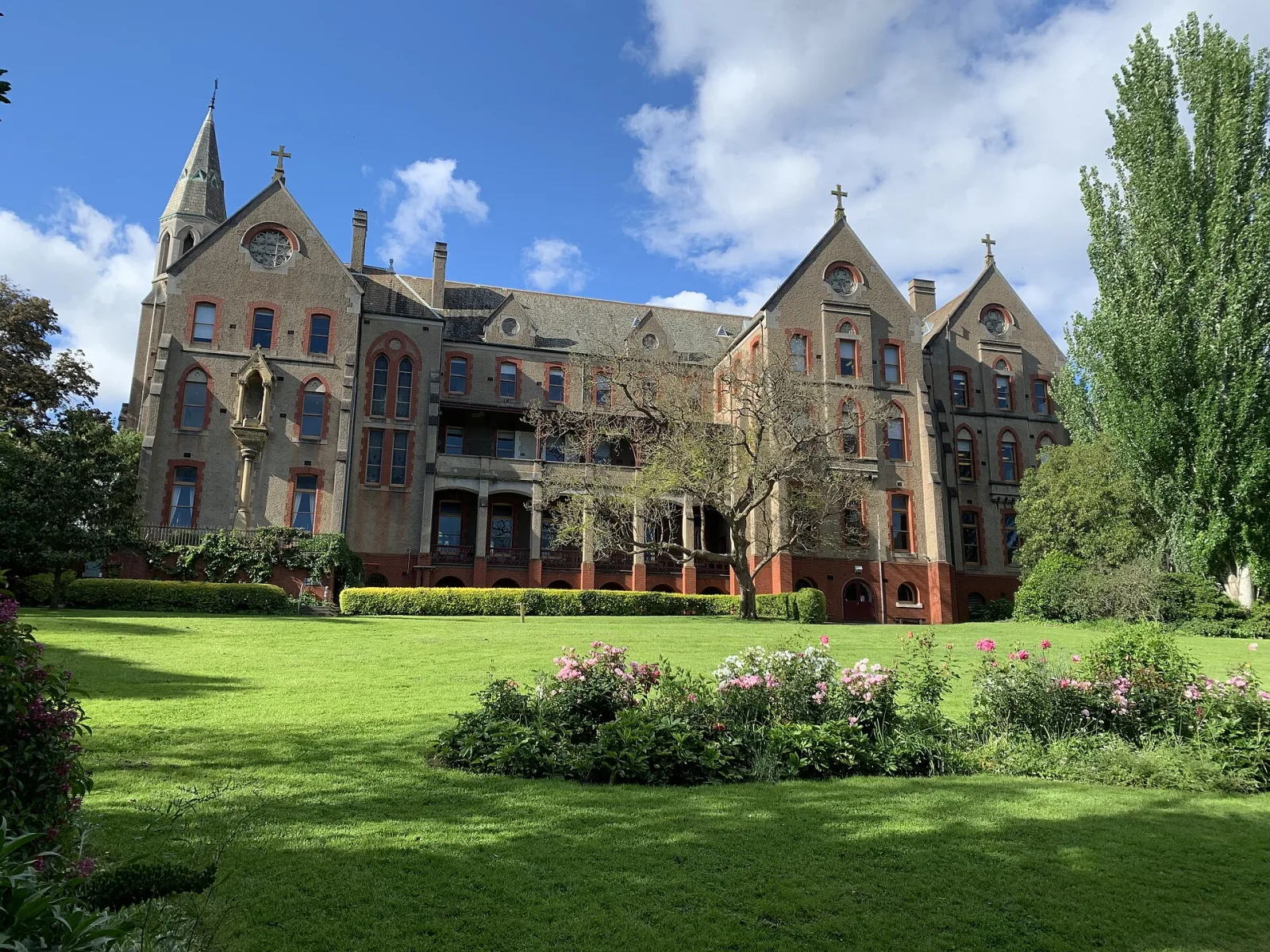
The Wilsons Promontory Lightstation stands on a 90-metre granite cliff at South East Point, the southernmost tip of mainland Australia. Built between 1857 and 1859 using convict labour and locally quarried granite, the lighthouse has guided ships through Bass Strait for more than 160 years and remains one of the most dramatically positioned historic structures in the country.
Reaching the lightstation requires a serious commitment. The shortest hiking route is approximately 19 kilometres one-way from the Telegraph Saddle Carpark, following the Telegraph Track through heathland, forest, and coastal scrub. An alternative route of about 24 kilometres departs from Tidal River via Oberon Bay. The return walk is typically done as a two or three-day overnight hike, with accommodation available in the historic keepers' cottages.
The setting is extraordinary. Very high wind speeds have been recorded at South East Point, and on clear days the view extends south toward Rodondo Island, which sits in Tasmanian waters about 10 kilometres offshore. The lighthouse tower and keepers' residences are heritage-listed structures that remain largely intact.
Overnight stays in the cottages must be booked through Parks Victoria. Day walkers who reach the lightstation should allow at least six hours of walking time from their starting point and carry sufficient food, water, and weather protection. Mobile phone coverage is unreliable throughout the southern section of the park.
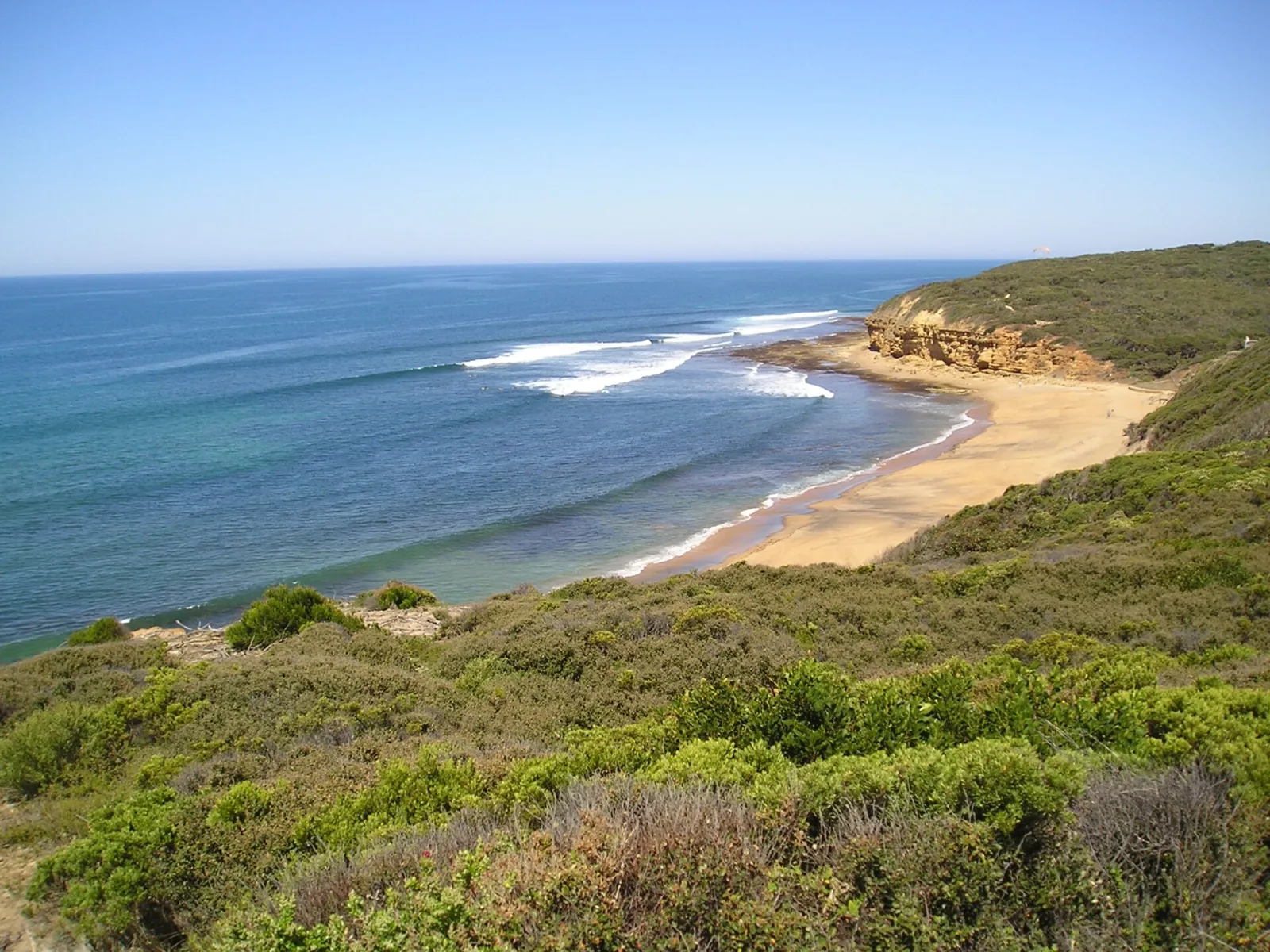
Scenic views