Geographe Bay
A 100 kilometre arc of calm turquoise water between two capes in the south-west
schedule 2 min read / Updated Apr 2026
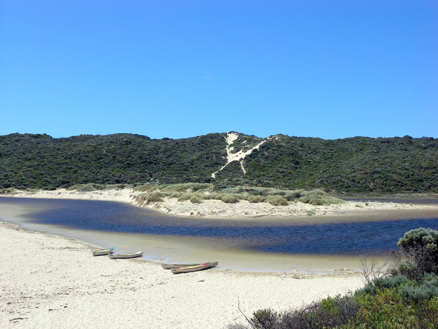
A broad north-facing bay stretching roughly 100 kilometres from Cape Naturaliste in the west to the Leschenault Peninsula in the east. Geographe Bay offers some of the calmest and warmest ocean swimming in the south-west, and its shallow turquoise waters are a seasonal nursery for humpback whales and bottlenose dolphins.
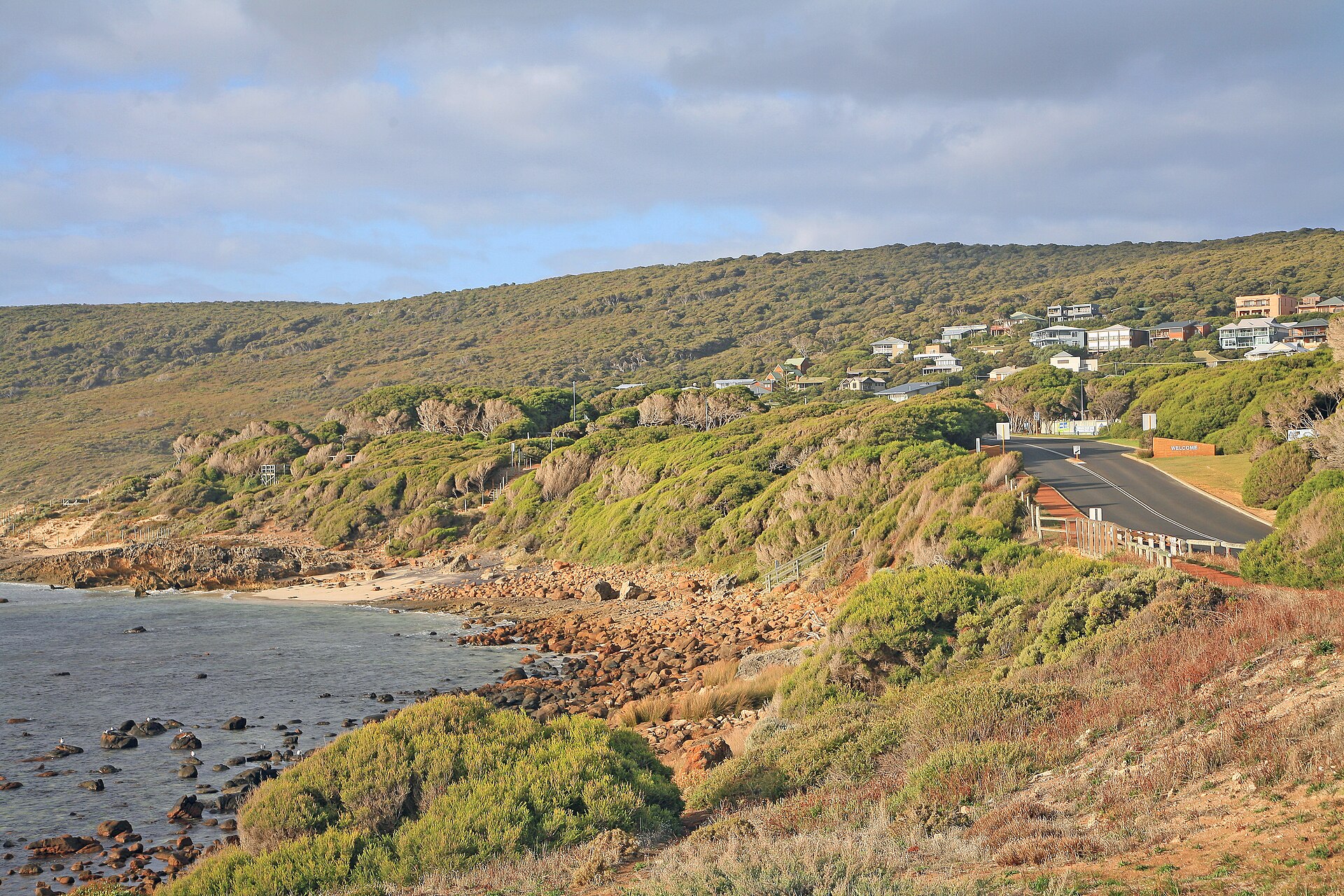
Geographe Bay is one of the largest bays on the Western Australian coast, stretching in a wide arc from Cape Naturaliste at the western end to the Leschenault Estuary near Bunbury at the eastern end. The bay faces north and is protected from the prevailing south-westerly swell by the Leeuwin-Naturaliste Ridge, which means the water inside the bay is consistently calmer and warmer than the exposed Indian Ocean beaches on the other side of the cape.
The bay takes its name from the French corvette Geographe, which explored the coast in 1801 under the command of Nicolas Baudin. The French expedition mapped much of the south-west coastline and the bay still carries the name Baudin gave it. Several other features in the area, including Cape Naturaliste itself, retain their French expedition names.
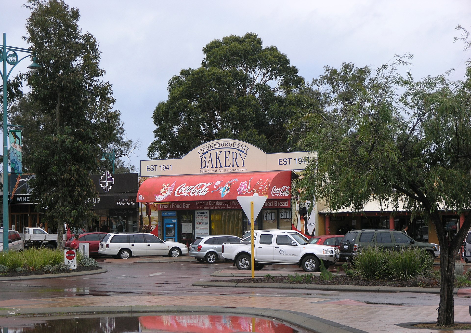
The beaches along Geographe Bay are uniformly excellent. The sand is fine and white, the water grades from pale green to deep turquoise, and the gentle slope makes it safe for children. Dunsborough, at the western end near the cape, is the most popular holiday town and has the best infrastructure. Busselton sits in the middle with its famous 1.8 kilometre jetty, and the Bunbury end has the longer, less crowded stretches.
Between September and November each year, humpback whales pass through the bay on their southward migration from the Kimberley breeding grounds. Whale watching tours operate from Dunsborough and Busselton during this period, and it is common to see mothers with calves resting in the shallow water. Bottlenose dolphins are resident in the bay year-round, and the Bunbury Dolphin Discovery Centre at the eastern end offers supervised beach encounters with a habituated pod.
Geographe Bay is the default beach destination for the Margaret River wine region. Most visitors combine a few days of winery visits with mornings at the beach, and the bay's calm conditions make it a reliable option even when the surf beaches on the cape are too rough for casual swimming. The bay is best from November to April.
Where to stay
Holiday parks near Geographe Bay.
2 options via our booking partner
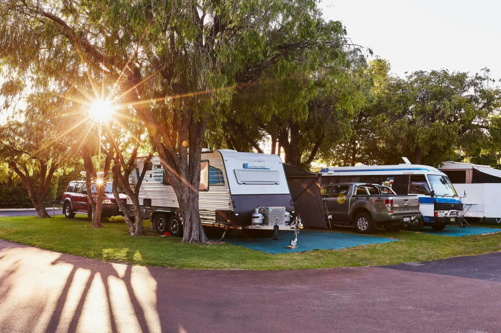
BIG4 Breeze Holiday Parks Busselton
5km away

Four Seasons Holiday Park Busselton
12.9km away
Bookings handled by our partner Parkbooker. We may earn a commission at no extra cost to you.
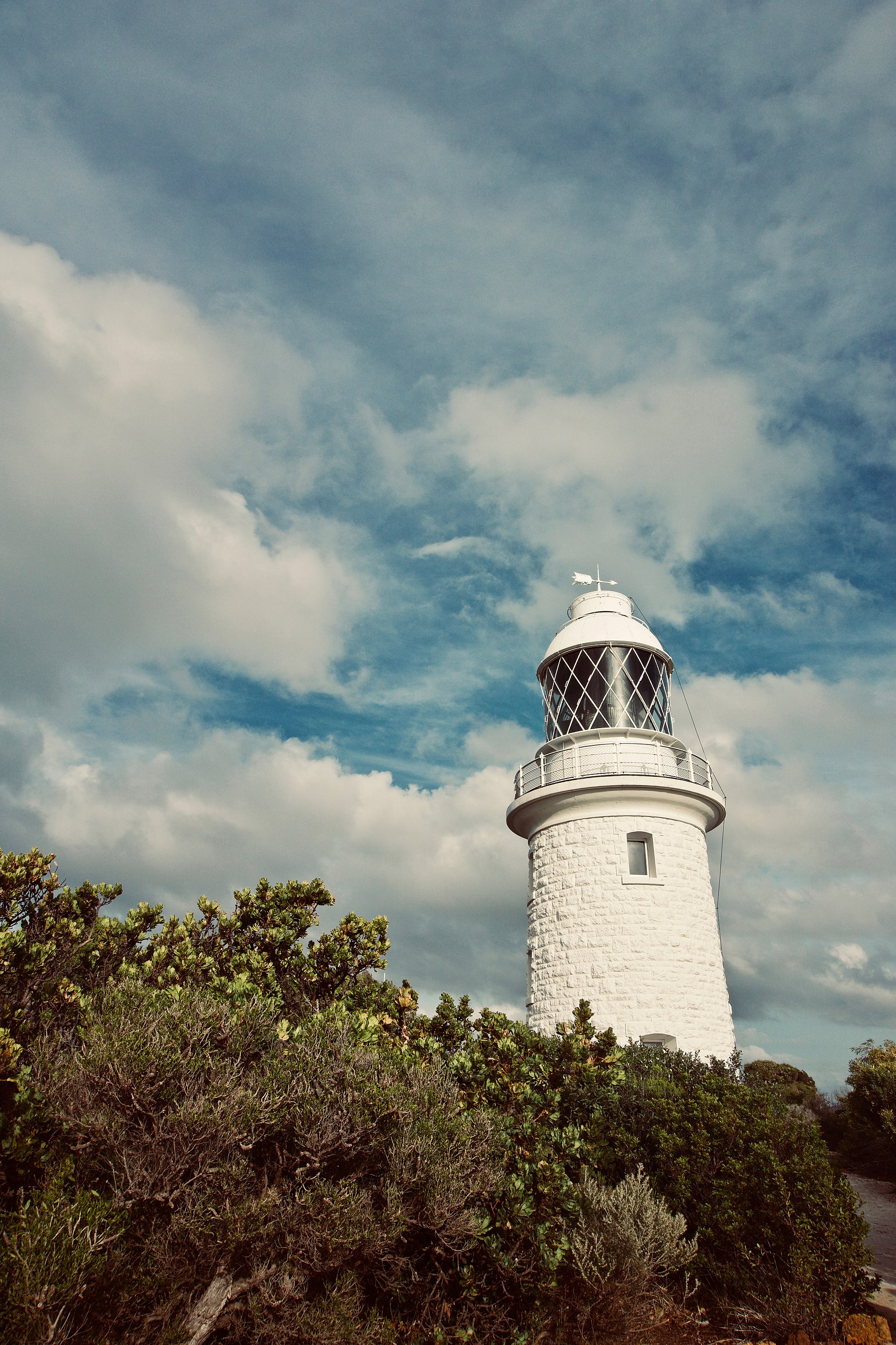
Scenic views
Lookouts near Geographe Bay.
You may also like

Attribution
Sources & credits
Content (1)
Images (3)
- 1772 Vaugondy - Diderot Map of Alaska, the Pacific Northwest... · http://www.geographicus.com/mm5/cartographers/vaug... · Public domain
- 1772 Vaugondy - Diderot Map of Alaska, the Pacific Northwest... · http://www.geographicus.com/mm5/cartographers/vaug... · Public domain
- Carte de la Virginie et du Maryland Dressée sur la grande ca... · Didier Robert de Vaugondy · Public domain
.jpg)
Images sourced from Wikimedia Commons under licenses that permit commercial use. If you are the rights holder and believe an attribution is incorrect, please contact us.