
Katherine Gorge (Nitmiluk)
Thirteen Gorges on Jawoyn Country
schedule 1 min read / Updated Apr 2026
A chain of thirteen sandstone gorges carved by the Katherine River through ancient rock on Jawoyn country. Cruise, canoe, or fly over the gorges. Edith Falls is the place to swim in the dry season.
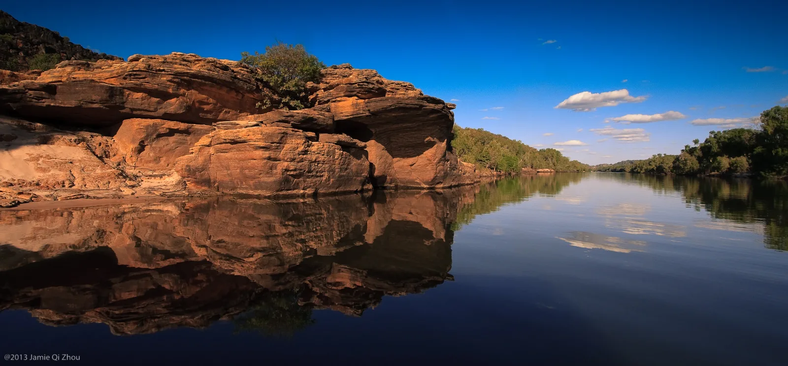
Nitmiluk Gorge (also known as Katherine Gorge) is a chain of thirteen sandstone gorges carved by the Katherine River through the Arnhem Land plateau. The river drops over 100 metres in elevation through the gorges before emerging onto the plains south of Katherine. The walls are an ancient quartz sandstone laid down more than a billion years ago.
The gorges are part of Nitmiluk National Park, jointly managed with the Jawoyn people. "Nitmiluk" means "place of the cicada dreaming" in the Jawoyn language. The first gorge is the most accessible and is reached by a short walk from the visitor centre. To reach the upper gorges you need to canoe or take a guided cruise, with portages between each gorge during the dry season when the water level drops.
In the wet season (December to April) the river floods the entire system and the gorges become too dangerous for water access. Edith Falls, on the western edge of the park, has a popular swimming hole. The park covers 2,920 square kilometres in total.
Scenic views
Lookouts near Katherine Gorge (Nitmiluk).
You may also like

Nitmiluk National Park
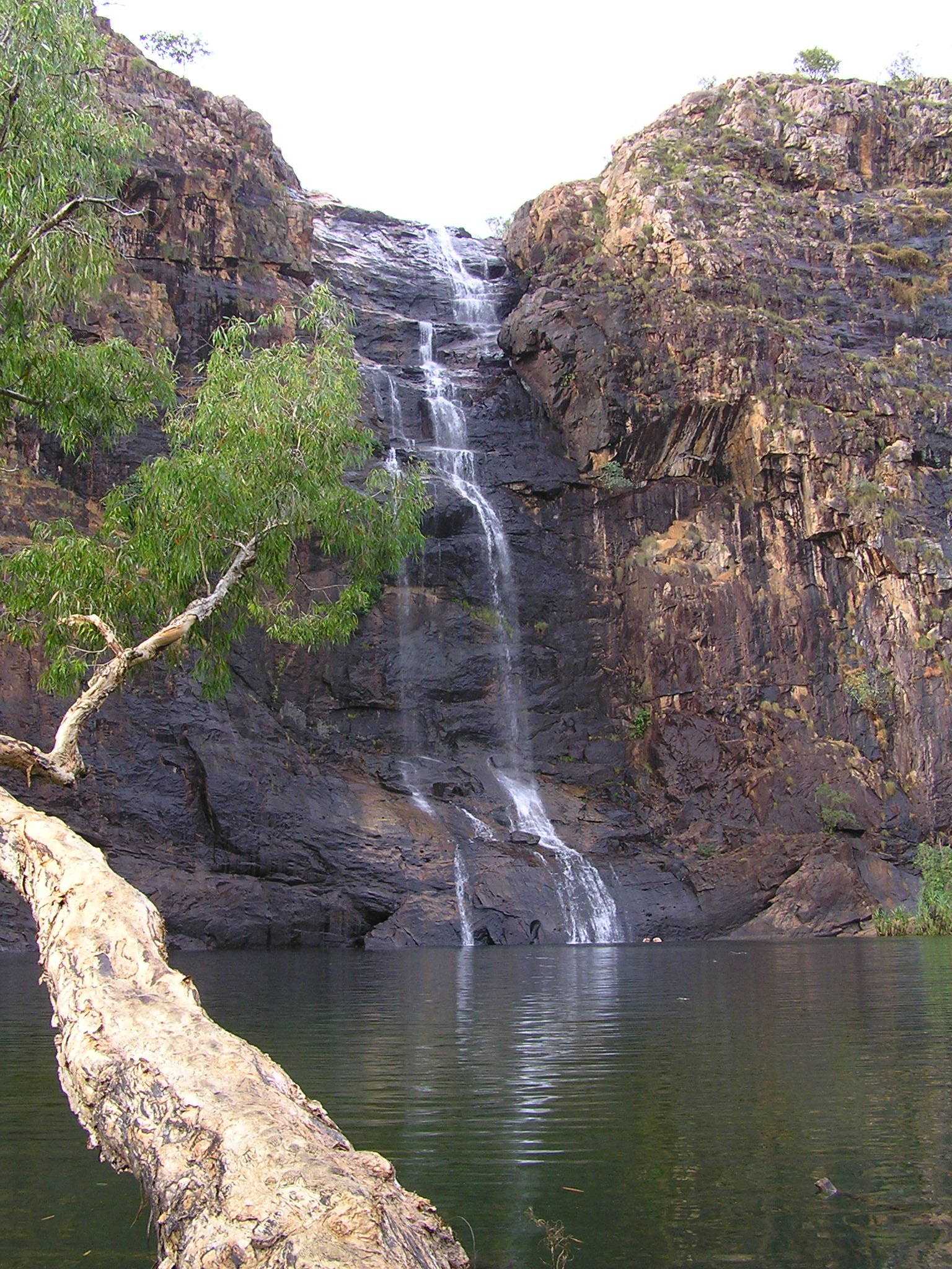
Gunlom Falls

Katherine

Mataranka

Chambers Pillar

Litchfield National Park
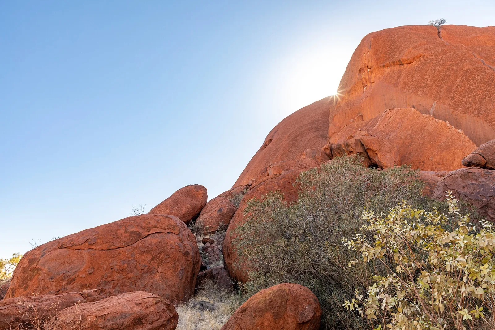
Uluru & Kata Tjuta
Yulara
East MacDonnell Ranges
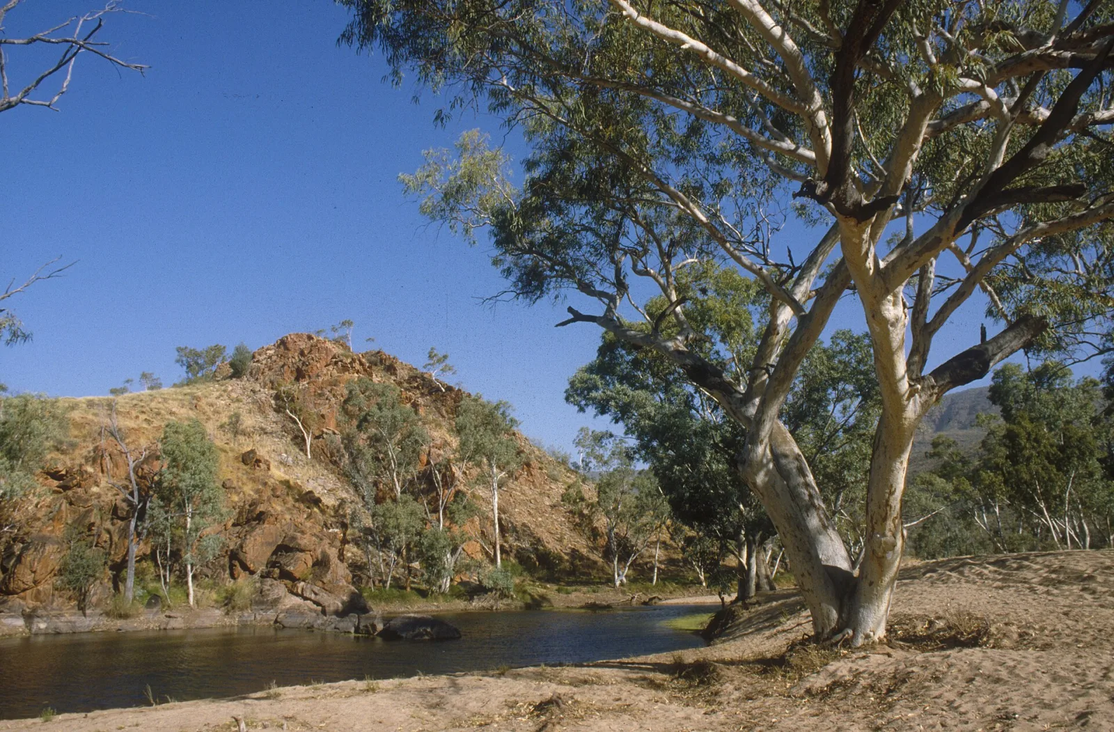
MacDonnell Ranges
Kakadu National Park

Mount Conner (Atila)
Attribution
Sources & credits
Content (1)
Images (3)
- 00 0647 Katharine Gorge in Nitmiluk National Park.jpg · W. Bulach · CC BY-SA 4.0
- 00 4648 Katharine Gorge in Nitmiluk National Park.jpg · W. Bulach · CC BY-SA 4.0
- 00 4666 Katharine Gorge im Nitmiluk Nationalpark.jpg · W. Bulach · CC BY-SA 4.0


Images sourced from Wikimedia Commons under licenses that permit commercial use. If you are the rights holder and believe an attribution is incorrect, please contact us.