Western Australia · Attraction
Bluff Knoll, Stirling Range National Park
Highest peak in southern WA
schedule 1 min read / Updated Jun 2026
Bluff Knoll rises 1,099 metres above the flat sandplains of the Great Southern region, making it the highest peak in southern Western Australia and one of the few places in the state to receive regular snowfall. The six-kilometre return summit trail in Stirling Range National Park is a challenging but rewarding half-day hike with sweeping views across the ranges and, on clear days, to the Albany coast.
The Stirling Range is renowned as a biodiversity hotspot, with more than 1,500 plant species recorded in the park, many found nowhere else on Earth. The ranges are at their most spectacular during wildflower season from August to November, when endemic mountain bells, feather flowers, and spider orchids blanket the slopes. The Noongar people know Bluff Knoll as Pualaar Miial, meaning many-faced hill, and it holds deep cultural and spiritual significance as a place where ancestral spirits gather.
The trail to the summit involves steep sections with rough steps cut into the granite. Walkers should allow three to four hours for the return trip and carry warm layers, as conditions on the summit can change rapidly. Park entry is by vehicle pass, payable at self-service machines near the Bluff Knoll Road turnoff from Chester Pass Road.
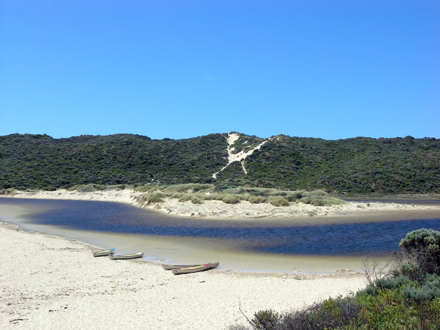
Scenic views
Lookouts near Bluff Knoll, Stirling Range National Park.
You may also like

Stirling Range National Park

Two Peoples Bay

Albany

Wanneroo

Kununurra

Kalbarri National Park

Lake Hillier
Margaret River
Whiteman

Cape Le Grand National Park
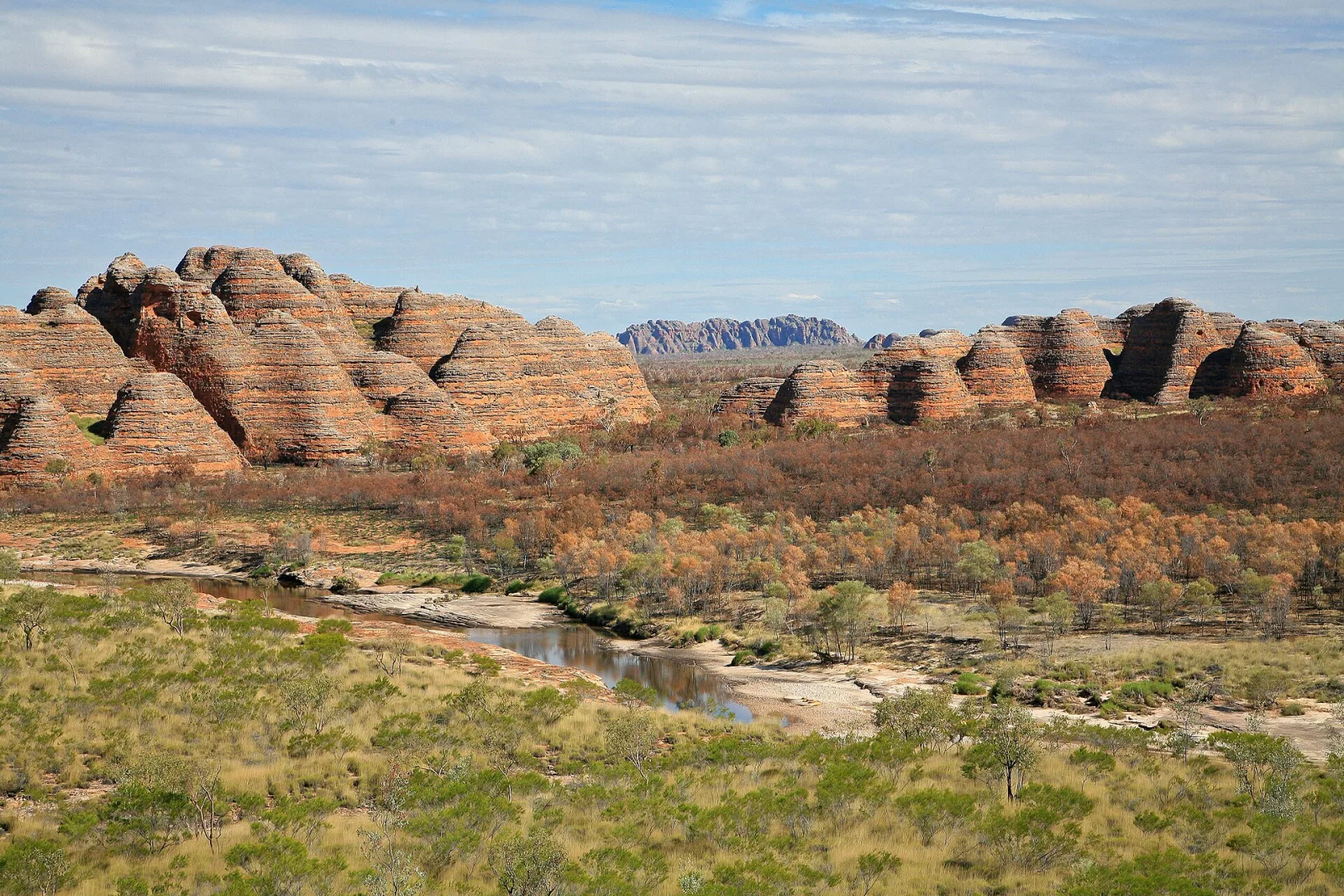
Bungle Bungle Range
