The Nut
Moo-Nut-Re-Ker
Tasmania's ancient coastal sentinel
On the lands of the Peerapper people people.
schedule 2 min read / Updated Jun 2026
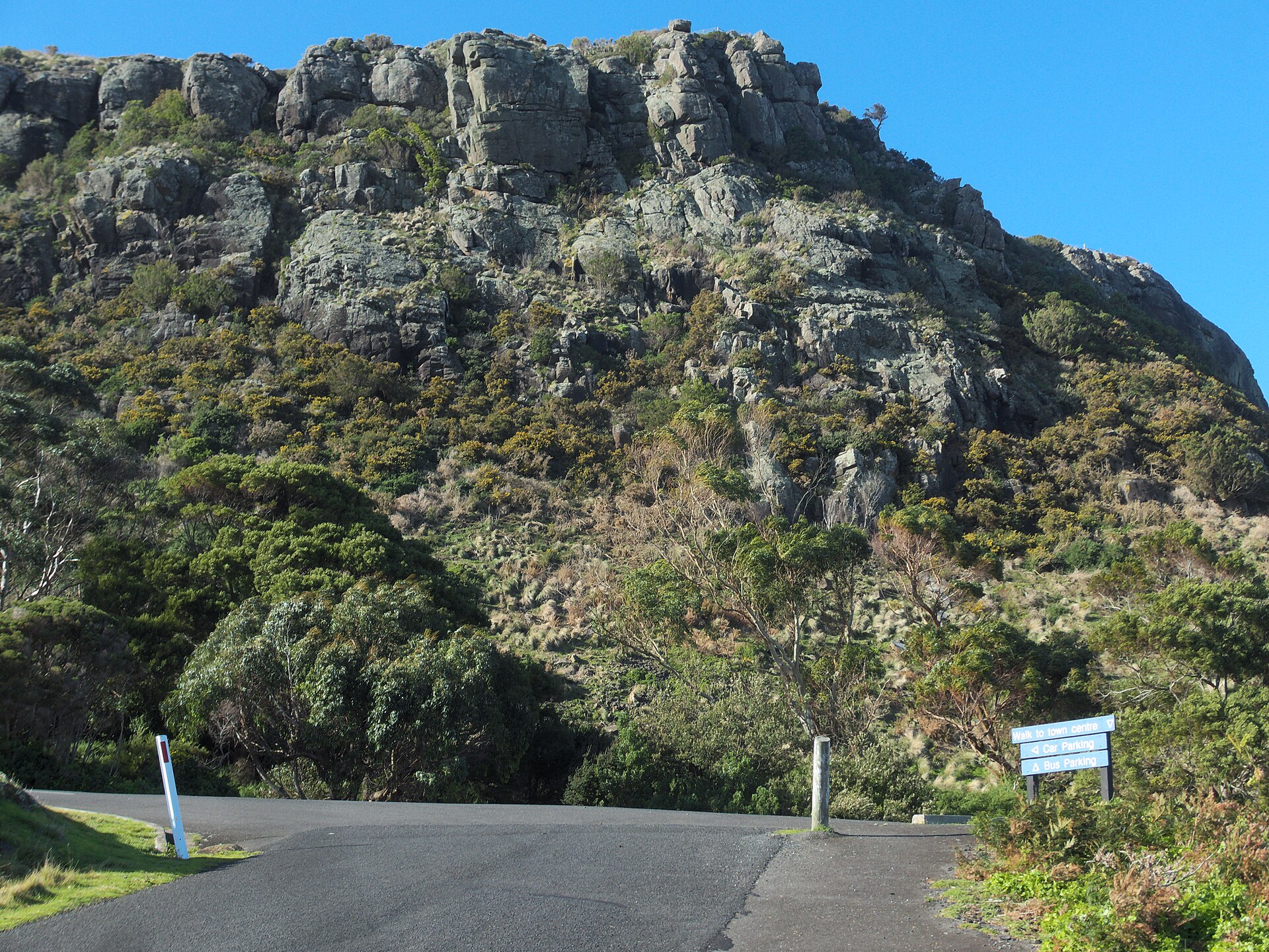
Rising 143 metres above the far north-west Tasmanian town of Stanley, The Nut is the solidified core of an extinct volcano whose surrounding rock eroded away over millions of years to leave this flat-topped plug standing above Bass Strait. A steep walking track or a privately operated chairlift delivers visitors to the summit, where a 2.7-kilometre circuit track circles the plateau edge with sweeping views of coastline, farmland, and the historic town below.
The Nut is composed of basanite, a dark volcanic rock, dating to between 8.5 and 12.5 million years ago. As softer surrounding rock eroded across geological time, the harder volcanic core was left standing, a process that created the distinctive flat-topped plug shape visible for many kilometres at sea. George Bass and Matthew Flinders recorded it during their 1798 circumnavigation of Tasmania aboard the sloop Norfolk, one of the earliest European observations of this part of the island's coast.
The Tasmanian Aboriginal people knew this landmark as Moo-Nut-Re-Ker, and Aboriginal people have occupied the region surrounding The Nut for thousands of years. Stone artefact scatters, middens, and quarry sites in the area attest to sustained use of this coastline long before European contact. The broader area forms part of the traditional country of the Peerapper people of north-west Tasmania.
The Nut State Reserve is managed by Parks and Wildlife Service Tasmania and entry to the reserve is free. The summit can be reached by the Zig Zag walking track, a short but very steep climb up the southern face that most fit walkers complete in around 20 minutes. At the top, the Nut Summit Circuit is a 2.7-kilometre Grade 3 loop around the plateau rim, typically taking about an hour, with wide-open views across the Southern Ocean and back over Stanley's narrow isthmus below.
For those unable or unwilling to tackle the steep access track, a privately operated chairlift runs from the base to the summit in approximately five minutes. The chairlift operates daily from roughly late September through to late May, closing for winter maintenance from approximately late May to early September. Confirm current dates directly with the operator before visiting.
The summit plateau supports a remarkable array of wildlife. Short-tailed shearwaters nest in burrows across the top in large numbers, and the reserve also provides habitat for peregrine falcons, little penguins, pademelons, Tasmanian devils, eastern barred bandicoots, and possums. The critically endangered orange-bellied parrot uses The Nut as a staging point during its migration. The volcanic basanite weathers to fertile red soil that has historically supported the productive farmland of the surrounding north-west region.
Common questions
Things visitors ask about The Nut.
Quick answers to help you plan.
Do I have to pay to visit The Nut?
expand_more
Entry to The Nut State Reserve is free. The privately operated chairlift charges a separate fare for adults and children, with family rates available. Walking to the summit via the Zig Zag track is free. Confirm current chairlift prices and seasonal hours with the operator before visiting.
How steep is the walk to the summit?
expand_more
The Zig Zag walking track up the southern face is very steep, a short, sharp climb that most reasonably fit walkers complete in around 15 to 20 minutes. The track is not suitable for most mobility-impaired visitors. Once on top, the plateau rim circuit is a comfortable Grade 3 walk of 2.7 kilometres taking about an hour with minimal elevation change.
When does the chairlift operate?
expand_more
The chairlift typically operates daily from around late September through to late May. It closes for winter maintenance from approximately late May to early September. Operational dates can vary, so check the chairlift operator's website or social media for current schedules before your visit.
What wildlife can I expect to see at The Nut?
expand_more
The summit plateau is a significant breeding site for short-tailed shearwaters, which nest in burrows across the top in large numbers. You may also spot peregrine falcons, little penguins, and during migration the critically endangered orange-bellied parrot. At ground level, pademelons, eastern barred bandicoots, Tasmanian devils, and possums all inhabit the reserve.
How far is The Nut from Devonport and Launceston?
expand_more
Stanley is approximately 135 kilometres west of Devonport, roughly a 1.5-hour drive along the north-west coast. Launceston is around 225 kilometres away, approximately a 2.5 to 3-hour drive. The nearest regional airport is Burnie Airport at Wynyard, about 70 kilometres east of Stanley, which has regular connections to Melbourne.
What is the indigenous significance of The Nut?
expand_more
Aboriginal people of north-west Tasmania knew this landmark as Moo-Nut-Re-Ker and have occupied this coastline for thousands of years. The surrounding area contains middens, artefact scatters, and quarry sites that attest to sustained Aboriginal presence. The broader region forms part of the country of the Peerapper people who inhabited the far north-west of Tasmania.
What else is there to do in Stanley while visiting The Nut?
expand_more
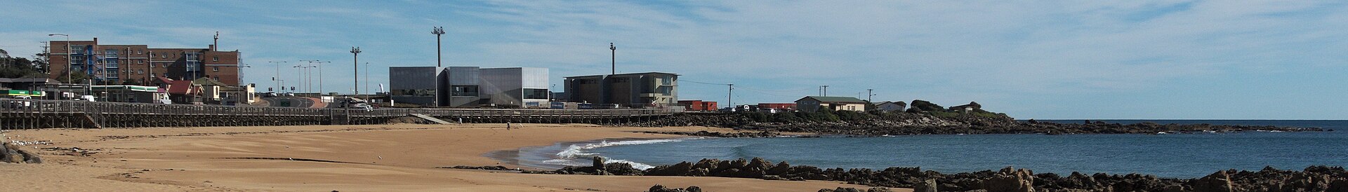
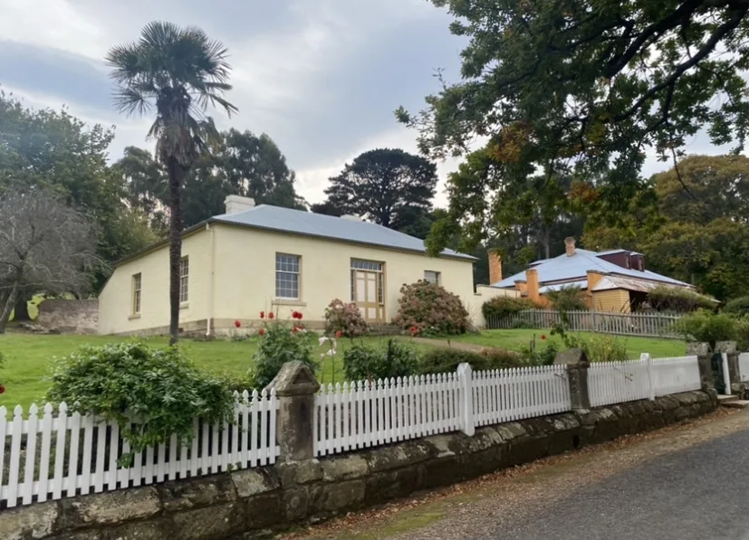
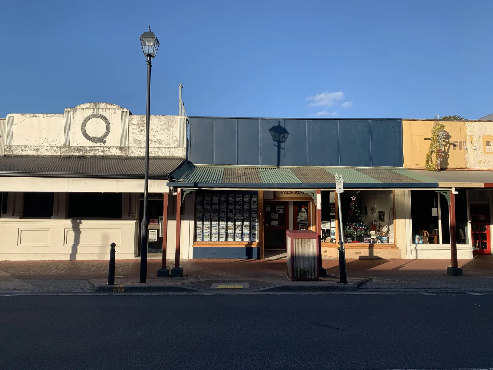
Stanley is a well-preserved historic town. Highfield Historic Site, a Georgian residence built for the Van Diemen's Land Company in the 1830s, is open to visitors. The town has good cafes, a waterfront, and excellent opportunities to spot penguins and seabirds near Godfreys Beach. The takayna/Tarkine wilderness is accessible to the south.
Where to stay
Holiday parks near The Nut.
1 option via our booking partner

Bookings handled by our partner Parkbooker. We may earn a commission at no extra cost to you.
Gallery
The Nut in pictures.
6 images licensed from Wikimedia Commons
All images are sourced from Wikimedia Commons under Creative Commons licences. Individual photographers are credited on the source pages.
From the journal
Read more about The Nut.
Story · 2 min read
Tasmania's Wild North-West
Beyond Cradle Mountain, Tasmania's north-west corner stays gloriously uncrowded: a flat-topped sea mountain, a Georgian fishing town, and a city gorge that feels like wilderness.

Guide · 3 min read
Australia's Best Lookouts, State by State
From sandstone escarpments to volcanic plugs and red-rock gorges, here are the lookouts worth the detour in every state, plus how to find the ones closest to you.
Scenic views
Lookouts near The Nut.
You may also like


Attribution
Sources & credits
Content (4)
- Wikipedia: The Nut · CC BY-SA 4.0
- The Nut State Reserve · Parks and Wildlife Service Tasmania
- The Nut, Stanley · Tourism Tasmania
- The Nut (Tasmania) - Wikipedia · Wikipedia contributors · CC BY-SA 4.0
Images (6)
- Browns Road and The Nut 20190722-009.jpg · Gary Houston · CC0
- Stanley-20150411-017.jpg · Gary Houston · CC0
- StanleyAndNut.jpg · Taspictures · CC0
- Stanley NUT looking north.JPG · Peripitus · CC BY 3.0
- Stanley and The Nut (25619890904).jpg · Michael Coghlan from Adelaide, Australia · CC BY-SA 2.0
- Stanley and The Nut (6280265492).jpg · Norton Ip from Hong Kong · CC BY-SA 2.0
.jpg)
.jpg)
Images sourced from Wikimedia Commons under licenses that permit commercial use. If you are the rights holder and believe an attribution is incorrect, please contact us.