Victoria · Attraction
Grampians Peaks Trail
164 kilometres through Gariwerd
schedule 1 min read / Updated Jun 2026
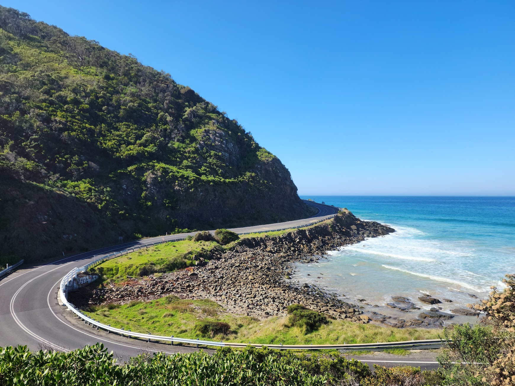
Running 164 kilometres from Mount Zero in the north to Dunkeld in the south, the Grampians Peaks Trail is one of Australia's great long-distance walks, passing across rugged ridgelines, through ancient Aboriginal landscapes and over the summits of Gar, Mount William and Signal Peak. The full traverse takes 13 days and 12 nights, but individual sections and day walks make the trail accessible to a wide range of walkers.
The trail divides into three sections. The northern section covers 51 kilometres over four days from Mt Zero to Halls Gap, passing the iconic Hollow Mountain and the Mount Difficult peaks. The central section runs 64 kilometres over five days from Halls Gap south through the Wonderland Range. The southern section completes the remaining kilometres over four days into Dunkeld, finishing near the base of Mount Sturgeon.
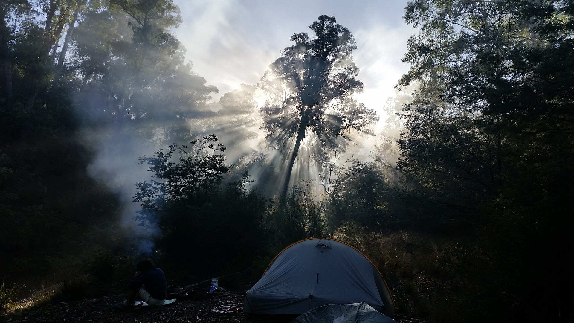
Eleven purpose-built hike-in campgrounds are spaced along the route, each with tank water (which must be treated before drinking), composting toilets and tent platforms. Bookings for campgrounds are managed through Parks Victoria and must be made from north to south. The trail itself is free to walk, but campsite fees apply for overnight users.
The trail is recommended for experienced long-distance walkers with good navigation skills and appropriate safety equipment. Guided options and shuttle services are available through licensed operators based in Halls Gap and Dunkeld.
Where to stay
Holiday parks near Grampians Peaks Trail.
3 options via our booking partner

Breeze Holiday Parks Grampians
1.7km away
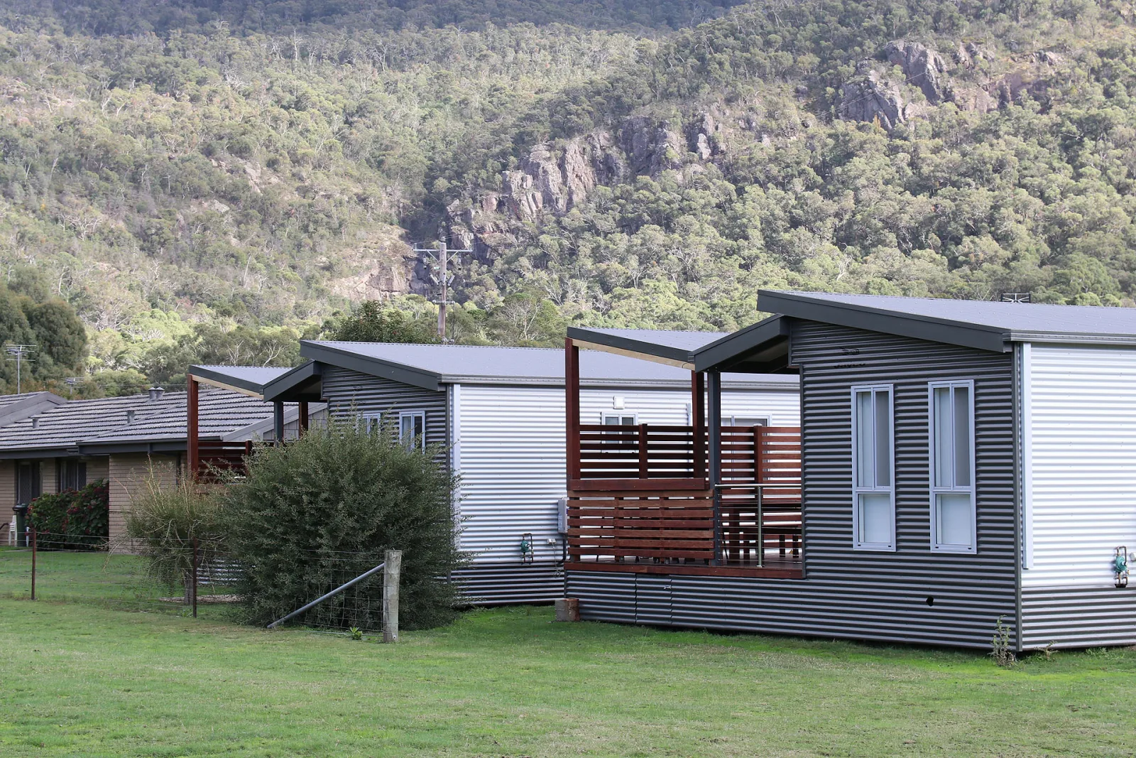
NRMA Halls Gap Holiday Park
2.4km away

Breeze Holiday Parks Halls Gap
3.9km away
Bookings handled by our partner Parkbooker. We may earn a commission at no extra cost to you.
Scenic views