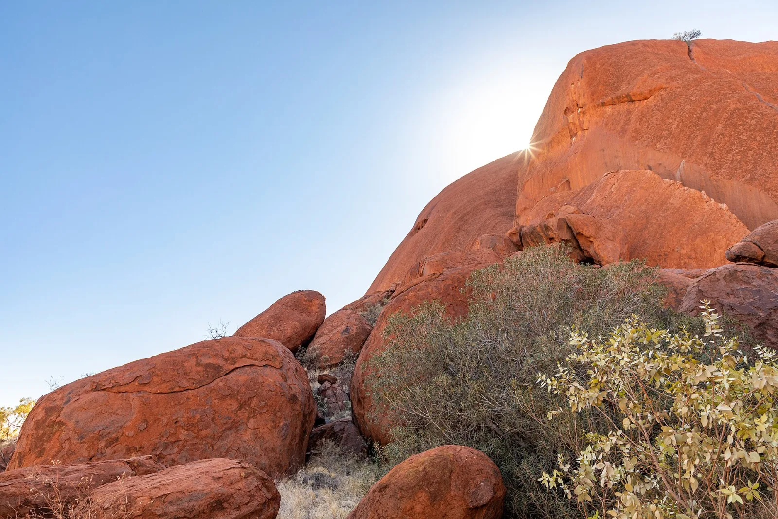
Uluru & Kata Tjuta
The Spiritual Heart
On the lands of the Anangu people.
schedule 3 min read / Updated Jun 2026
A 348 metre sandstone monolith that rises out of the flat red desert of the Northern Territory, Uluru is the spiritual heart of the country and the most recognisable natural landmark in the southern hemisphere. It has been sacred to the Anangu people for tens of thousands of years and was returned to their ownership in 1985.
Uluru sits at the geographic centre of Australia, around 450 kilometres south-west of Alice Springs, in what the Anangu call the Red Centre. The rock itself is the exposed tip of a much larger sandstone formation that continues underground for an estimated six kilometres, meaning what visitors see is only the top five percent of the whole structure. Geologists date the formation to around 550 million years ago, laid down as sand at the bottom of an inland sea that has long since disappeared.
The Anangu are the traditional owners of Uluru and the surrounding country, and they have an unbroken cultural connection to the rock that stretches back at least 30,000 years. Their stories, known as Tjukurpa, explain the features of the rock as records of ancestral beings and events. Several sections of the base are men's or women's sacred sites and are not photographed or filmed. In 1985 the rock was handed back to Anangu ownership and is now leased back to the federal government under a joint-management agreement that expires in 2084.
Climbing Uluru was permanently banned in October 2019 after decades of Anangu requests that visitors stop. The ban came into force on the anniversary of the handback and was widely supported. Today the main visitor activities are the 10.6 kilometre base walk, the shorter Mala walk and Kuniya walk, sunrise and sunset viewings from dedicated platforms, and ranger-led cultural talks at the Uluru-Kata Tjuta Cultural Centre.
The colours of the rock shift dramatically through the day. It appears ochre at dawn, a deep brick-red at midday, and turns a luminous orange-red at sunset when the iron minerals in the surface rock catch the low-angle light. After rare desert rains, the normally dry waterfalls on the southern face run for a few hours and the rock briefly turns silver and black.
Most visitors base themselves at Yulara, the resort village 20 kilometres outside the national park, which has accommodation ranging from the campground to the award-winning Longitude 131 luxury tented camp. The town has its own airport (Ayers Rock Airport, AYQ) with direct flights from Sydney, Melbourne, Brisbane and Cairns, making it practical to visit Uluru on a short trip rather than committing to the long drive from Alice Springs.
The best months to visit are May to September, when daytime temperatures sit in the low 20s and the nights are cold but clear. October to April are uncomfortably hot, with summer highs regularly above 40 degrees Celsius, and flies are relentless through spring. The park is open year-round and the ranger-led activities run every day except Christmas.
Kata Tjuta, the 36-domed rock formation 25 kilometres west of Uluru, is part of the same national park and is often called the country's second rock. The Valley of the Winds walk through Kata Tjuta is considered by many hikers to be the most dramatic in central Australia, and any visit of two days or more should include both sites.
Common questions
Things visitors ask about Uluru & Kata Tjuta.
Quick answers to help you plan.
Can you climb Uluru?
expand_more
No. Climbing Uluru was permanently closed on 26 October 2019 out of respect for the wishes of the Anangu Traditional Owners, who consider the rock a deeply sacred place. The chain handhold has been removed and the route closed. There is plenty to see and do without climbing, including the 10.6km base walk and several shorter trails.
How much does it cost to enter the national park?
expand_more
A 3-day adult park pass is $38 and children and teenagers under 18 enter free. An annual pass is $50. Buy your pass online before you arrive at uluru.gov.au or at the park entry station. The fee supports joint management of the park with the Anangu Traditional Owners.
When is the best time of year to visit?
expand_more
The cooler dry season from May to September is the most comfortable time to visit, with daytime temperatures around 20 to 30 degrees Celsius and cold nights. December and January are extremely hot, often above 40 degrees, and many walks close before midday. Spring (September to October) is a sweet spot for wildflowers and milder weather.
How many days do you need at Uluru?
expand_more
Two to three full days is the sweet spot. That gives you time for sunrise and sunset at Uluru, the full base walk, a visit to the cultural centre, and a separate day at Kata Tjuta for the Valley of the Winds walk. Day trippers from Alice Springs miss most of what makes the place special.
How far is Uluru from Alice Springs?
expand_more
Uluru is around 450 kilometres south-west of Alice Springs, roughly a five hour drive on the sealed Stuart and Lasseter Highways. Most visitors fly into Ayers Rock Airport (AYQ) at Yulara instead, which is only a 15 minute drive from the rock.
Where do you stay near Uluru?
expand_more
All accommodation inside the park region is at Ayers Rock Resort in the township of Yulara, around 20 kilometres from Uluru. Options range from camping and budget lodges to five-star hotels. There is no accommodation right at the base of the rock. Book well ahead during the peak dry season.
Do you need a 4WD?
expand_more
No. The roads inside Uluru-Kata Tjuta National Park and the highway in from Yulara are all sealed and easily managed in a 2WD. A 4WD is only needed if you plan to take side trips off the main routes.
How long is the Uluru base walk?
expand_more
The full base walk is a 10.6 kilometre loop on flat ground, usually taking three to four hours at an easy pace. Start before sunrise in summer to beat the heat. Shorter sections include the Mala Walk (2km return) and the Kuniya Walk to Mutitjulu Waterhole (1km return).
Can you take photos of Uluru?
expand_more
Yes, for personal use, but several sacred sites along the base are signposted as no-photography zones and these requests must be respected. Anangu also ask photographers to take only wide shots of the north-east face and to avoid the upper-left details. Commercial photography requires a permit.
Is Uluru the same as Ayers Rock?
expand_more
Yes. Ayers Rock was the colonial name given in 1873 by surveyor William Gosse. Uluru is the original Anangu name and is the dual name in official use today, alongside Kata Tjuta (formerly The Olgas). Most signage, maps and tour operators now use the Indigenous names.
Tourist locations
Places to visit in Uluru & Kata Tjuta.
6 locations to explore
Field of Light Uluru
50,000 glowing spheres after dark
General Admission from $50 adult, $39 child
Full guide arrow_forwardKata Tjuta - Valley of the Winds Walk
Lose yourself in the domes
Park pass $38 adult, free under 18 (valid 3 days)
Full guide arrow_forwardTalinguru Nyakunytjaku Viewing Area
Sunrise and sunset, unobstructed
Park pass $38 adult, free under 18 (valid 3 days)
Full guide arrow_forwardUluru Base Walk
Circle a sacred monolith
Park pass $38 adult, free under 18 (valid 3 days)
Full guide arrow_forwardUluru Camel Tours
Ride the desert at dawn
From $98 adult (Express); from $165 adult (Sunrise or Sunset)
Full guide arrow_forwardUluru-Kata Tjuta Cultural Centre
Start here, learn everything
Free entry to the centre; park pass $38 adult required for park access
Full guide arrow_forwardGallery
Uluru & Kata Tjuta in pictures.
9 images licensed from Wikimedia Commons
All images are sourced from Wikimedia Commons under Creative Commons licences. Individual photographers are credited on the source pages.
Things to do
Recommended Experiences
1 bookable experiences at or near Uluru & Kata Tjuta.

On the itinerary
Trip plans that include Uluru & Kata Tjuta.

From the journal
Read more about Uluru & Kata Tjuta.
Guide · 4 min read
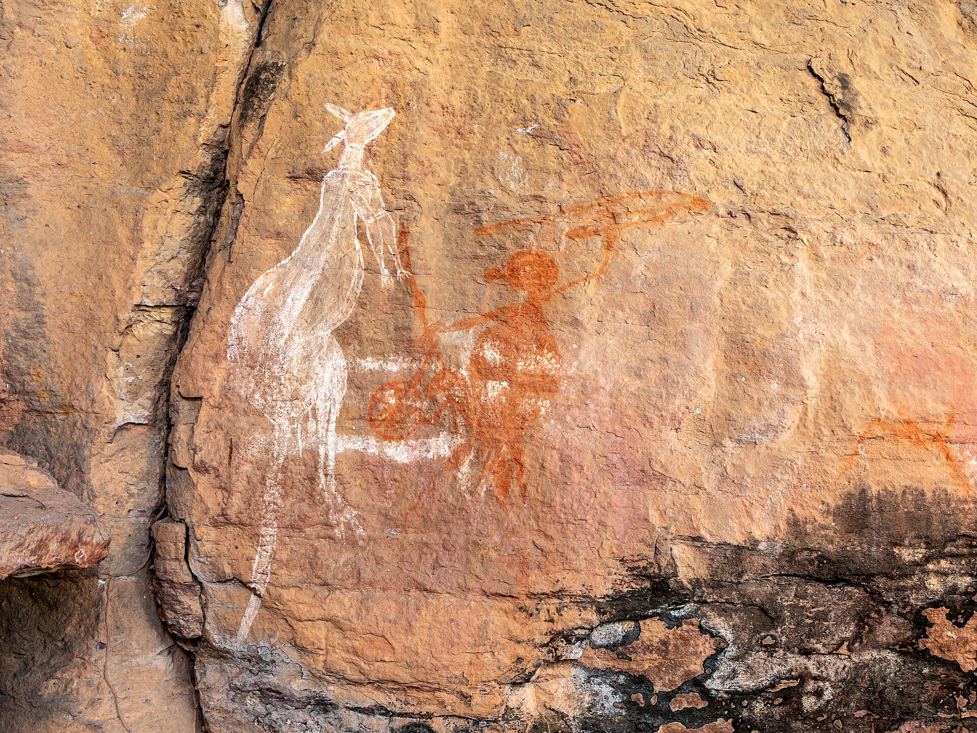
Indigenous Tourism Etiquette
Australia is home to the oldest continuous culture on earth. A little awareness goes a long way towards visiting responsibly, and supporting the communities whose country you are on.

Guide · 4 min read
Outback Safety
Every year visitors die in the Australian outback because they underestimate distance, heat and remoteness. Here is what to do to not become a statistic.

Guide · 4 min read
The Best Time to Visit Australia
Australia is too big for a single 'best time'. The right month depends entirely on where you are going and what you want to see. Here is the full calendar.
Scenic views
Lookouts near Uluru & Kata Tjuta.
You may also like

Mount Conner (Atila)
East MacDonnell Ranges
Ubirr

Tiwi Islands

Darwin

Daly Waters
Kakadu National Park

Chambers Pillar
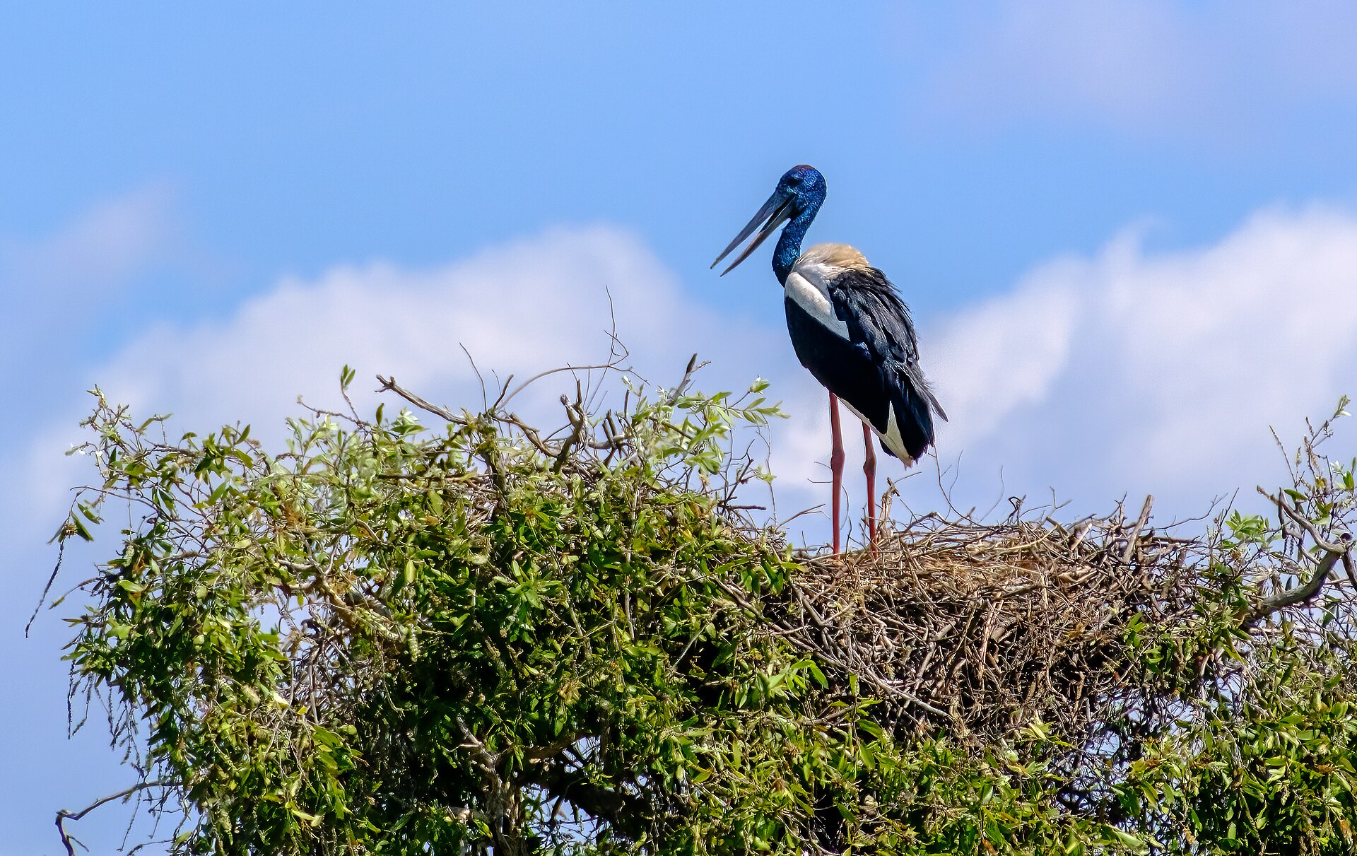
Mary River National Park
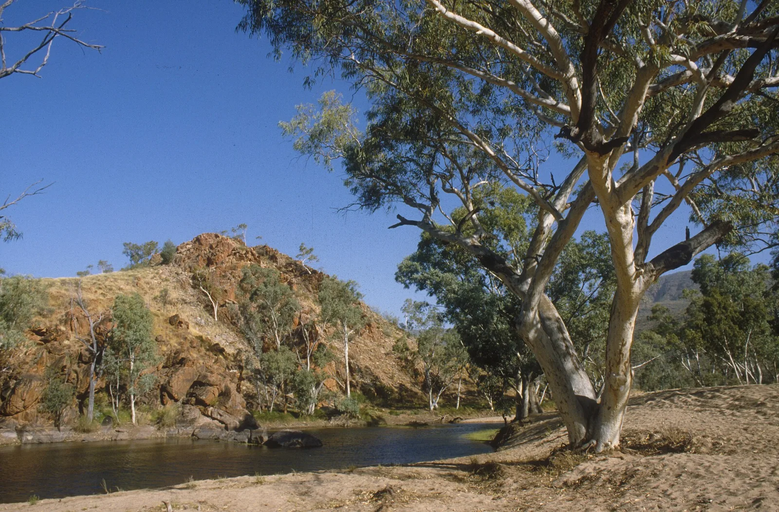
MacDonnell Ranges
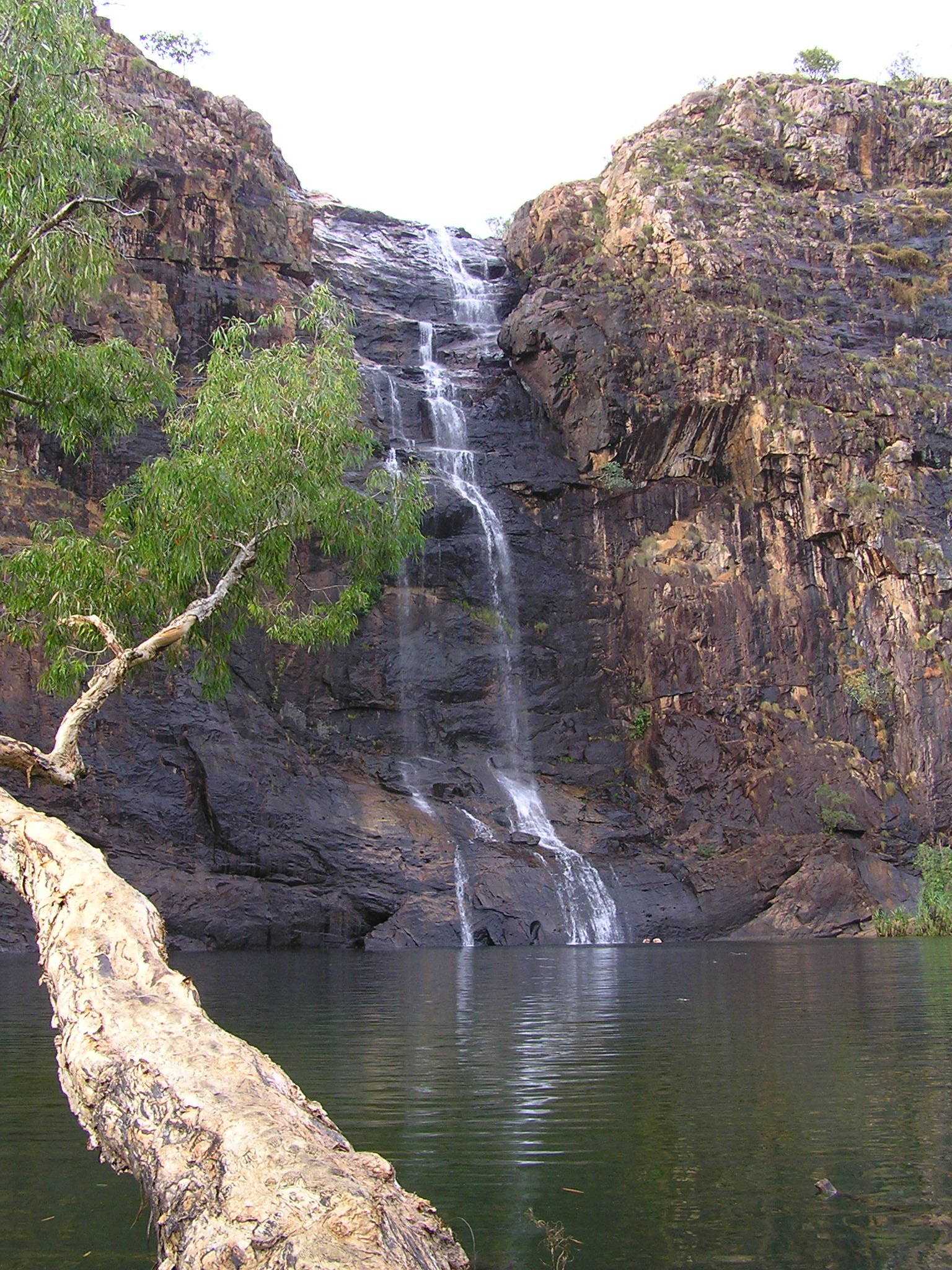
Gunlom Falls

Mataranka
Attribution
Sources & credits
Content (3)
- Wikipedia: Uluru & Kata Tjuta · CC BY-SA 4.0
- Uluru-Kata Tjuta National Park: Buy your pass · Parks Australia · CC BY 4.0
- Photography in Uluru-Kata Tjuta National Park · Parks Australia · CC BY 4.0
Images (9)
- Petermann Ranges (AU), Uluru-Kata Tjuta National Park, Uluru... · Dietmar Rabich · CC BY-SA 4.0
- Petermann Ranges (AU), Uluru-Kata Tjuta National Park, Uluru... · Dietmar Rabich · CC BY-SA 4.0
- Petermann Ranges (AU), Uluru-Kata Tjuta National Park, Uluru... · Dietmar Rabich · CC BY-SA 4.0
- Ayers rock at sunset (47850034062).jpg · scott1346 from Mechanicsville, MD, USA · CC BY 2.0
- Morning view of ayer's rock (48043324712).jpg · scott1346 from Mechanicsville, MD, USA · CC BY 2.0
- Uluru Australia.jpg · Kate Branch · CC BY-SA 4.0
- Uluru by Kate Branch.jpg · Kate Branch · CC BY-SA 4.0
- Uluru detail.jpg · Kate Branch · CC BY-SA 4.0
- We did not climb Uluru - Flickr - nosha.jpg · nosha · CC BY-SA 2.0
,_Uluru-Kata_Tjuta_National_Park,_Uluru,_Kuniya_Walk_--_2019_--_3636.jpg)
,_Uluru-Kata_Tjuta_National_Park,_Uluru,_Kuniya_Walk_--_2019_--_3651.jpg)
,_Uluru-Kata_Tjuta_National_Park,_Uluru,_Kuniya_Walk_--_2019_--_3671.jpg)
.jpg)
.jpg)


Images sourced from Wikimedia Commons under licenses that permit commercial use. If you are the rights holder and believe an attribution is incorrect, please contact us.